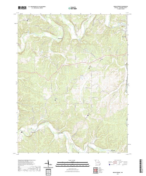
2021 Map of Indian Springs
USGS Topo · Published 2021About this map
The Meramec River winds through this section of Crawford County, carving a valley defined by series of historic river crossings including Scott Ford, Klein Ford, and Cedar Ford. This landscape is characterized by its high density of family and community cemeteries, such as Saint Michael Cem and Barnicle Chapel Cem, which anchor the rural countryside between the larger settlements of Steelville and Keysville. The presence of numerous natural springs, including Fishing Spring, Indian Springs, and Beaver Spring, illustrates the region's complex karst topography. Smaller upland lakes like Holifield Lake and Lake Vera are connected by a network of local roads such as Chaumiere Farm Rd and Kehr Farm Ln, reflecting a community structure tied closely to the creek beds of Crooked Creek and Yadkin Cr.
Find a feature on this map
73 named features on this map. Tap any name to fly to it.
Don’t see what you’re looking for? This feature index may not catch every label — zoom into the map to look around manually.
Map Details
Editions of this 2021 Indian Springs Map
This is the sole edition of this map. No revisions or reprints were ever made.
Other maps of this area

1903 · Sullivan
USGS Topo · 1:125,000

1928 · Meramec Spring
USGS Topo · 1:62,500

1932 · Steelville
USGS Topo · 1:48,000

1933 · Steelville
USGS Topo · 1:62,500

1934 · Redbird
USGS Topo · 1:62,500

1937 · Steelville
USGS Topo · 1:62,500

1938 · Redbird
USGS Topo · 1:62,500

1948 · Cuba
USGS Topo · 1:24,000

1948 · Leasburg
USGS Topo · 1:24,000

1949 · Saint Louis
USGS Topo · 1:250,000