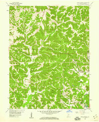
1956 Map of Indian Springs
USGS Topo · Published 1974About this map
The Crane Naval Ammunition Depot dominates the northern and central landscape of this mid-century Indiana survey, illustrating the significant military footprint in Martin County. This federal installation is etched across a terrain defined by deep hollows and ridges like Gobbler Knob, while the Chicago Milwaukee St Paul and Pacific railroad cuts through the depot grounds, connecting the naval facility to the broader industrial network.
Find a feature on this map
37 named features on this map. Tap any name to fly to it.
Don’t see what you’re looking for? This feature index may not catch every label — zoom into the map to look around manually.
Map Details
Editions of this 1956 Indian Springs Map
2 editions found
Other maps of this area

1935 · Oolitic
USGS Topo · 1:48,000

1942 · Oolitic
USGS Topo · 1:62,500

1948 · Huron
USGS Topo · 1:24,000

1950 · Huron
USGS Topo · 1:24,000

1950 · Shoals
USGS Topo · 1:24,000

1950 · Odon
USGS Topo · 1:24,000

1956 · Loogootee
USGS Topo · 1:24,000

1956 · Koleen
USGS Topo · 1:24,000

1956 · Indian Springs
USGS Topo · 1:24,000

1956 · Vincennes
USGS Topo · 1:250,000