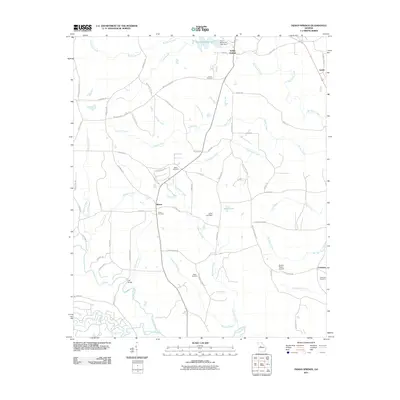
2011 Map of Indian Springs
USGS Topo · Published 2011About this map
Indian Springs and the village of Blount anchor this 2011 landscape where the Upper Piedmont's creek systems converge toward the Towaliga River. The map details a rural geography defined by family-named landmarks and water management, notably Chief McIntosh Lake and its corresponding dam in the northern sector. The distribution of small burial grounds like Gunn Cemetery, Webb Cemetery, and Paron Cemetery provides essential context for local genealogy and settlement patterns, while the Broken Ranch Airport suggests the area's modern diversification. Further south, the terrain follows the winding course of the Little Towaliga River, crossing at the locally recognized Flat Bridge. The road network, including names like Mount Vernon Church Rd and Blue Ridge School Rd, preserves the locations of community centers that historically unified this portion of Butts County.
Find a feature on this map
70 named features on this map. Tap any name to fly to it.
Don’t see what you’re looking for? This feature index may not catch every label — zoom into the map to look around manually.
Map Details
Editions of this 2011 Indian Springs Map
This is the sole edition of this map. No revisions or reprints were ever made.
Other maps of this area

1951 · Forsyth
USGS Topo · 1:62,500

1951 · Barnesville
USGS Topo · 1:62,500

1953 · Atlanta
USGS Topo · 1:250,000

1953 · Athens
USGS Topo · 1:250,000

1957 · Atlanta
USGS Topo · 1:250,000

1958 · Athens
USGS Topo · 1:250,000

1958 · Atlanta
USGS Topo · 1:250,000

1959 · Athens
USGS Topo · 1:250,000

1963 · Athens
USGS Topo · 1:250,000

1964 · Lloyd Shoals Dam
USGS Topo · 1:24,000