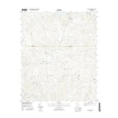
2014 Map of Indian Springs
USGS Topo · Published 2014About this map
Indian Springs anchors the northern reaches of this landscape, situated near the waters of Chief McIntosh Lake and the McIntosh Dam. This region of central Georgia, straddling the line between Butts and Monroe counties, is characterized by its numerous small creek drainages and a scatter of rural communities. Small settlements like Blount and Cabaniss serve as local hubs, connected by a network of winding roads such as Ga-42 and Blount Rd.
Find a feature on this map
82 named features on this map. Tap any name to fly to it.
Don’t see what you’re looking for? This feature index may not catch every label — zoom into the map to look around manually.
Map Details
Editions of this 2014 Indian Springs Map
This is the sole edition of this map. No revisions or reprints were ever made.
Other maps of this area

1951 · Forsyth
USGS Topo · 1:62,500

1951 · Barnesville
USGS Topo · 1:62,500

1953 · Atlanta
USGS Topo · 1:250,000

1953 · Athens
USGS Topo · 1:250,000

1957 · Atlanta
USGS Topo · 1:250,000

1958 · Athens
USGS Topo · 1:250,000

1958 · Atlanta
USGS Topo · 1:250,000

1959 · Athens
USGS Topo · 1:250,000

1963 · Athens
USGS Topo · 1:250,000

1964 · Lloyd Shoals Dam
USGS Topo · 1:24,000