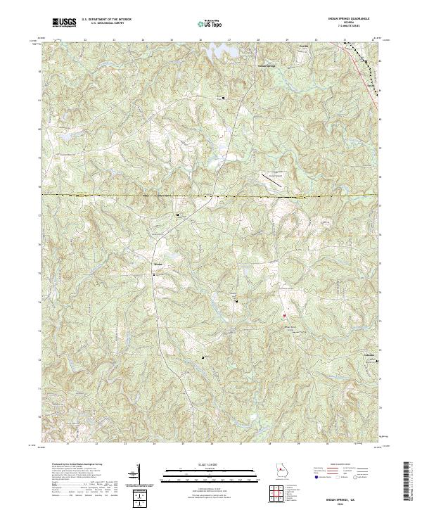
2024 Map of Indian Springs
USGS Topo · Published 2024About this map
The Towaliga River and Little Towaliga River converge in this corner of Monroe County, defining a landscape marked by small rural settlements and a network of named branches and creeks. Near the northern boundary, the community of Indian Springs and the town of Flovilla stand as central points of interest, accompanied by Flovilla Cem and China Grove Cem. The map illustrates a transition from the structured street plan of Flovilla to the winding country roads of the south, such as Co Line RD and MT Vernon Church RD.
Find a feature on this map
92 named features on this map. Tap any name to fly to it.
Don’t see what you’re looking for? This feature index may not catch every label — zoom into the map to look around manually.
Map Details
Editions of this 2024 Indian Springs Map
This is the sole edition of this map. No revisions or reprints were ever made.
Other maps of this area

1951 · Forsyth
USGS Topo · 1:62,500

1951 · Barnesville
USGS Topo · 1:62,500

1953 · Atlanta
USGS Topo · 1:250,000

1953 · Athens
USGS Topo · 1:250,000

1957 · Atlanta
USGS Topo · 1:250,000

1958 · Athens
USGS Topo · 1:250,000

1958 · Atlanta
USGS Topo · 1:250,000

1959 · Athens
USGS Topo · 1:250,000

1963 · Athens
USGS Topo · 1:250,000

1964 · Lloyd Shoals Dam
USGS Topo · 1:24,000