
1926 Map of Indian Stream
USGS Topo · Published 1926About this map
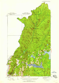
Indian Stream flows south through the northernmost tip of New Hampshire in this mid-century look at the international border with Quebec. The landscape is defined by the logging and sporting heritage of Coos County, featuring numerous remote outposts such as Depot Camp, Greeley Camp, and Cowen Hill Camp. The southern portion of the sheet shows the transition from timberlands to established settlements near the Connecticut River. The construction of the dam creating Lake Francis reshaped the local geography, situated just south of Back Lake. Small community hubs are visible through institutions like the Clarksville Town Hall and a network of rural schoolhouses, including the Indian Stream School and Wheeler School. To the east, the waters of First Connecticut Lake mark the edge of the deep forest, while localized landmarks like Happy Corner and Tabor Notch provide specific points of reference for local historians.
Find a feature on this map
79 named features on this map. Tap any name to fly to it.
Don’t see what you’re looking for? This feature index may not catch every label — zoom into the map to look around manually.
Map Details
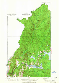
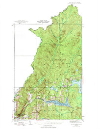
Editions of this 1926 Indian Stream Map
4 editions found
Other maps of this area

1925 · Indian Stream
USGS Topo · 1:48,000

1927 · Indian Stream
USGS Topo · 1:62,500

1927 · Moose Bog
USGS Topo · 1:48,000

1927 · Second Lake
USGS Topo · 1:62,500

1929 · Averill
USGS Topo · 1:62,500

1930 · Dixville
USGS Topo · 1:62,500

1930 · Errol
USGS Topo · 1:62,500

1931 · Moose Bog
USGS Topo · 1:62,500

1932 · Second Lake
USGS Topo · 1:62,500

1933 · Dixville
USGS Topo · 1:62,500