
1927 Map of Indian Stream
USGS Topo · Published 1927About this map
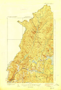
Indian Stream flows south through the heart of this northern New Hampshire borderland, where the 1925 survey by D.H. Watson and S.E. Clement documents a landscape defined by timber, water, and early rural infrastructure. Near the confluence of the Connecticut River and Halls Stream, the village of Beecher Falls serves as a key settlement on the New Hampshire-Vermont line. The map reveals a dense network of localized educational sites, including the Stanton School, Halls Stream School, and Indian Stream School, highlighting the distributed nature of this frontier community. To the east, the waters of First Connecticut Lake and Back Lake dominate the terrain, surrounded by a series of seasonal encampments such as Currier Camp and Holden Camp. The presence of the Maine Central railroad near the southern boundary points to the era's reliance on rail for transporting the region's natural resources through the mountain passes.
Find a feature on this map
71 named features on this map. Tap any name to fly to it.
Don’t see what you’re looking for? This feature index may not catch every label — zoom into the map to look around manually.
Map Details
Editions of this 1927 Indian Stream Map
5 editions found
Other maps of this area

1925 · Indian Stream
USGS Topo · 1:48,000

1926 · Indian Stream
USGS Topo · 1:62,500

1927 · Moose Bog
USGS Topo · 1:48,000

1927 · Second Lake
USGS Topo · 1:62,500

1929 · Averill
USGS Topo · 1:62,500

1930 · Dixville
USGS Topo · 1:62,500

1930 · Errol
USGS Topo · 1:62,500

1931 · Moose Bog
USGS Topo · 1:62,500

1932 · Second Lake
USGS Topo · 1:62,500

1933 · Dixville
USGS Topo · 1:62,500