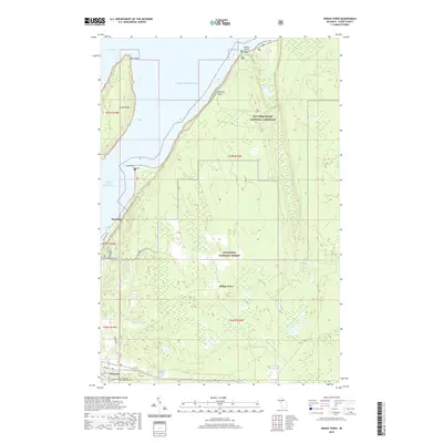
2019 Map of Indian Town
USGS Topo · Published 2019About this map
Pictured Rocks National Lakeshore dominates the northern shoreline of this Upper Peninsula survey, where the sandstone cliffs meet the expansive waters of Lake Superior. The terrain is defined by the drainage of the Miners River, which flows through Miners Lake and over Miners Falls before reaching the coast near Miners Castle Point. This landscape reflects a convergence of federal land management and local settlement, with much of the interior protected within the Hiawatha National Forest.
Find a feature on this map
35 named features on this map. Tap any name to fly to it.
Don’t see what you’re looking for? This feature index may not catch every label — zoom into the map to look around manually.
Map Details
Editions of this 2019 Indian Town Map
This is the sole edition of this map. No revisions or reprints were ever made.
Other maps of this area

1931 · Shingleton SW
USGS Topo · 1:31,680

1931 · Munising SE
USGS Topo · 1:31,680

1958 · Munising
USGS Topo · 1:62,500

1958 · Wood Island
USGS Topo · 1:62,500

1958 · Shingleton
USGS Topo · 1:62,500

1958 · Grand Portal Point
USGS Topo · 1:62,500

1958 · Marquette
USGS Topo · 1:250,000

1960 · Marquette
USGS Topo · 1:250,000

1961 · Marquette
USGS Topo · 1:250,000

1968 · Marquette
USGS Topo · 1:250,000