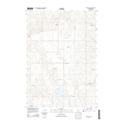
2013 Map of Indian Valley
USGS Topo · Published 2013About this map
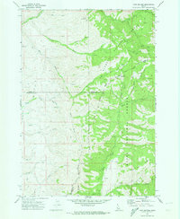
Indian Valley serves as the central hub for this rural agricultural and ranching landscape in Adams County, where the Little Weiser River winds southward toward the Ben Ross Reservoir. This 2013 survey reveals a patchwork of family-named lanes and ranch roads, such as Moritz Ln, Petty Ln, and Whiteman Ln, indicating a long-established pattern of private landholding and localized transport. The western reaches are defined by a series of drainages including Thorn Cr and Grays Cr which converge near the small settlement of Alpine. The inclusion of Cemetery Ln north of the main valley settlement points to the area's genealogical depth. To the south and east, the terrain becomes more defined by names like Ross Gulch and Tiff Lindsay Draw, where the network of namesake roads like Ben Ross Rd provides access to the higher ground overlooking the river valley.
Find a feature on this map
33 named features on this map. Tap any name to fly to it.
Don’t see what you’re looking for? This feature index may not catch every label — zoom into the map to look around manually.
Map Details
Editions of this 2013 Indian Valley Map
This is the sole edition of this map. No revisions or reprints were ever made.
Other maps of this area
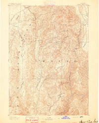
1894 · Squaw Creek
USGS Topo · 1:125,000
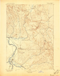
1897 · Weiser
USGS Topo · 1:125,000
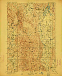
1911 · Meadows
USGS Topo · 1:125,000
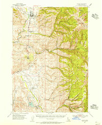
1954 · Council
USGS Topo · 1:62,500

1955 · Baker
USGS Topo · 1:250,000
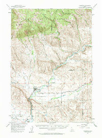
1957 · Cambridge
USGS Topo · 1:62,500
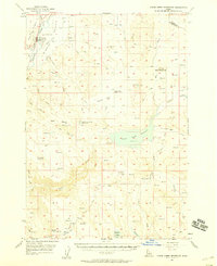
1957 · Crane Creek Reservoir
USGS Topo · 1:62,500

1959 · Baker
USGS Topo · 1:250,000
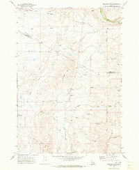
1970 · Granger Butte
USGS Topo · 1:24,000
1970 · Twin Sisters
USGS Topo · 1:24,000