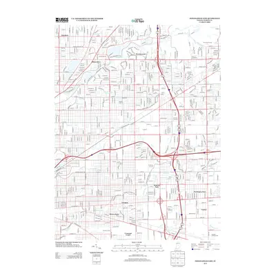
2013 Map of Indianapolis East
USGS Topo · Published 2013About this map
Irvington and its neighboring eastern suburbs represent a complex urban fabric where residential growth follows the winding paths of ancient watercourses. The drainage patterns of Fall Creek and Pogues Run dictate the layout of the streets, with major thoroughfares like Kessler Boulevard E Dr and Fall Creek Parkway N Dr tracing the natural contours of the land. This 2013 survey shows the area's transition from early 20th-century neighborhoods to late-century developments, anchored by local landmarks such as the Benton House and the institutional presence of Crossroad Temple. To the north, the planned community of Brendonwood stands in contrast to the industrial character of the Hawthorne Yards to the south. Further east, the sprawling greenspace of The Fort Golf Course indicates the repurposed landscape of the former military installation at the edge of Millersville.
Find a feature on this map
49 named features on this map. Tap any name to fly to it.
Don’t see what you’re looking for? This feature index may not catch every label — zoom into the map to look around manually.
Map Details
Editions of this 2013 Indianapolis East Map
This is the sole edition of this map. No revisions or reprints were ever made.
Other maps of this area

1948 · Indianapolis East
USGS Topo · 1:24,000

1948 · Maywood
USGS Topo · 1:24,000

1948 · Beech Grove
USGS Topo · 1:24,000

1948 · Indianapolis West
USGS Topo · 1:24,000

1952 · Cumberland
USGS Topo · 1:24,000

1952 · Fishers
USGS Topo · 1:24,000

1952 · Carmel
USGS Topo · 1:24,000

1952 · Mc Cordsville
USGS Topo · 1:24,000

1953 · Acton
USGS Topo · 1:24,000

1953 · Cincinnati
USGS Topo · 1:250,000
Featured Places
- Indianapolis, IN
- Lawrence, Indianapolis
- Warren Park, Indianapolis
- Dawnbury, Indianapolis
- Brendonwood, Indianapolis