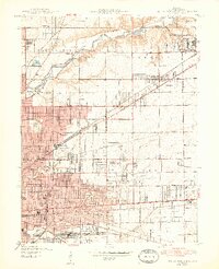
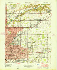
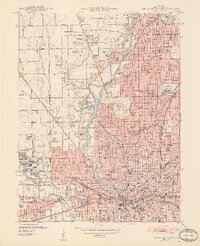
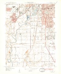
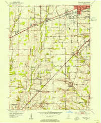
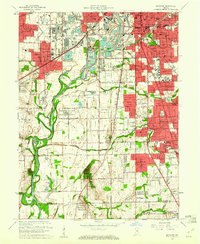
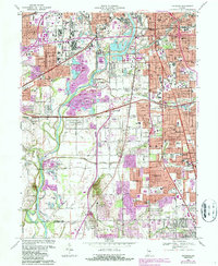
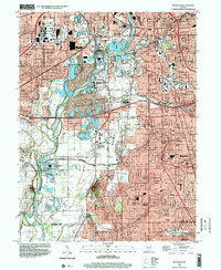
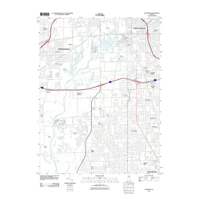
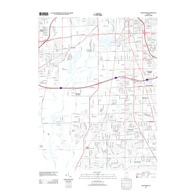
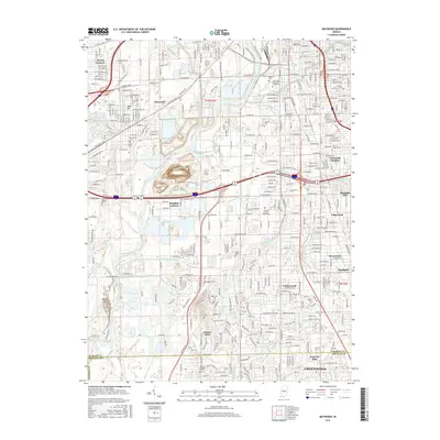
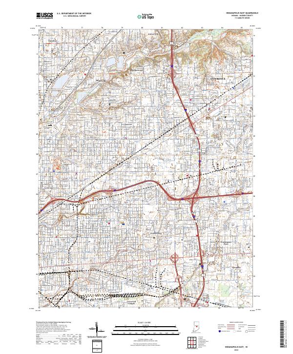
1948 Map of Indianapolis East
USGS Topo · Published 1948About this map
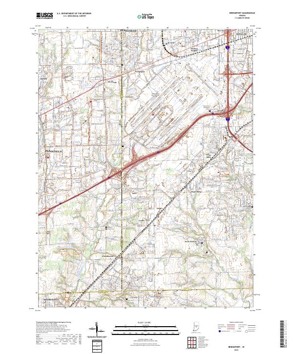
Fort Benjamin Harrison anchors the northeastern corner of this Marion County landscape, situated just as the post-war suburban expansion began to reshape the outskirts of Indianapolis. The map reveals a dense network of institutional and industrial activity, from the massive Naval Ordnance Plant to the aviation hubs at Brightwood Airport and Sky Harbor Airport. This era shows the city transitioning from its rail-centric roots, evidenced by the sprawling Hawthorne Yards and the New York Central lines, toward a modern automotive and military-industrial landscape.
Find a feature on this map
58 named features on this map. Tap any name to fly to it.
Don’t see what you’re looking for? This feature index may not catch every label — zoom into the map to look around manually.
Map Details
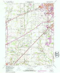
Editions of this 1948 Indianapolis East Map
2 editions found
Historical Maps of Indianapolis Through Time
36 maps found
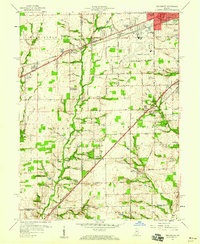
1948 Indianapolis East
Marion County, IN
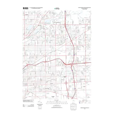
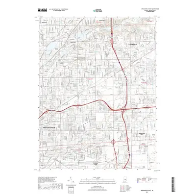
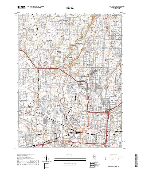
1948 Indianapolis West
Marion County, IN
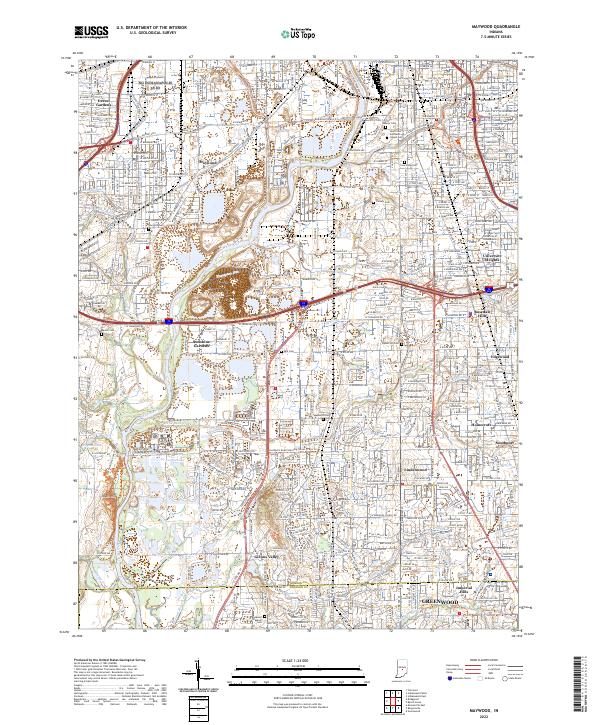
1948 Maywood
Marion County, IN
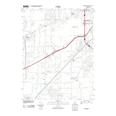
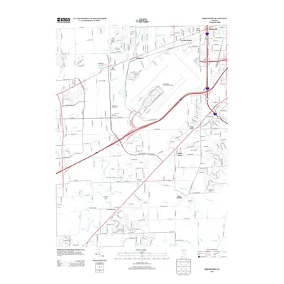
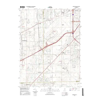
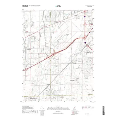
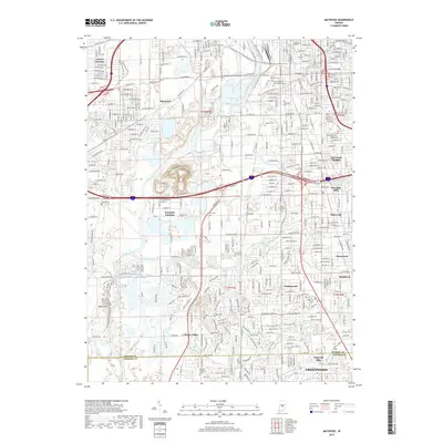
1953 Bridgeport
Marion County, IN
1959 Bridgeport
Marion County, IN
1959 Indianapolis East
Marion County, IN
1959 Indianapolis West
Marion County, IN
1959 Maywood
Marion County, IN
1966 Bridgeport
Marion County, IN
1967 Indianapolis East
Marion County, IN
1967 Indianapolis West
Marion County, IN
1967 Maywood
Marion County, IN
1998 Bridgeport
Marion County, IN
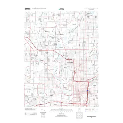
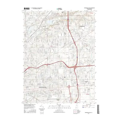
1998 Indianapolis East
Marion County, IN
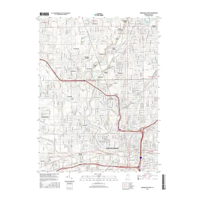
1998 Indianapolis West
Marion County, IN
1998 Maywood
Marion County, IN
2010 Bridgeport
Marion County, IN
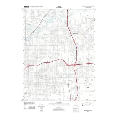
2010 Indianapolis East
Marion County, IN
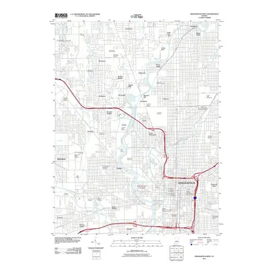
2010 Indianapolis West
Marion County, IN
2011 Maywood
Marion County, IN
2013 Bridgeport
Marion County, IN
2013 Indianapolis East
Marion County, IN
2013 Indianapolis West
Marion County, IN
2013 Maywood
Marion County, IN
2016 Bridgeport
Marion County, IN
2016 Indianapolis East
Marion County, IN
2016 Indianapolis West
Marion County, IN
2016 Maywood
Marion County, IN
2019 Bridgeport
Marion County, IN
2019 Indianapolis East
Marion County, IN
2019 Indianapolis West
Marion County, IN
2019 Maywood
Marion County, IN
2022 Bridgeport
Marion County, IN
2022 Indianapolis East
Marion County, IN
2022 Indianapolis West
Marion County, IN
2022 Maywood
Marion County, IN
Featured Locations
- Indianapolis, IN
- Dawnbury, Indianapolis
- Brendonwood, Indianapolis
- Lawrence, Indianapolis
- Warren Park, Indianapolis