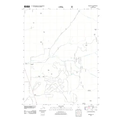
2011 Map of Indianola
USGS Topo · Published 2011About this map
Indianola serves as the primary settlement hub in this high-altitude corner of Sanpete County, where modern residential expansion meets the historical legacy of the Wasatch Range foothills. The landscape is defined by the headwaters of Thistle Creek and the San Pitch River, with the terrain rising sharply toward Browns Peak and Beehive Ridge. For genealogists and local historians, the presence of the Spencer Cemetery west of the town site and the distant Crotons Mine near Cedar Knoll provides a record of early pioneer settlement and resource extraction. Significant residential development is visible south of the main settlement, with numerous named access roads like Valley View Loop and Mountain Hollow Dr carving through the drainages of Indian Hollow and Snail Hollow. This modern era of the map shows a clear transition from a purely agricultural and mining landscape to one featuring rural residential growth nestled between landmarks such as Black Hawk and Red Cliff.
Find a feature on this map
51 named features on this map. Tap any name to fly to it.
Don’t see what you’re looking for? This feature index may not catch every label — zoom into the map to look around manually.
Map Details
Editions of this 2011 Indianola Map
This is the sole edition of this map. No revisions or reprints were ever made.
Other maps of this area

1885 · Manti
USGS Topo · 1:250,000

1895 · Manti
USGS Topo · 1:250,000

1951 · Moroni
USGS Topo · 1:62,500

1952 · Santaquin Peak
USGS Topo · 1:62,500

1956 · Price
USGS Topo · 1:250,000

1960 · Price
USGS Topo · 1:250,000

1962 · Price
USGS Topo · 1:250,000

1965 · Fairview Lakes
USGS Topo · 1:24,000
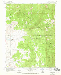
1967 · Indianola
USGS Topo · 1:24,000
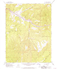
1967 · Mill Fork
USGS Topo · 1:24,000