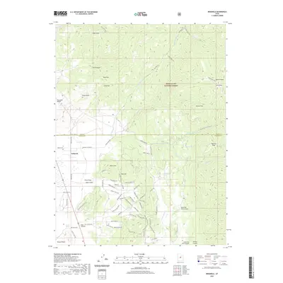
2020 Map of Indianola
USGS Topo · Published 2020About this map
The Indianola settlement sits at a critical geographic junction on this modern 2020 survey, where the San Pitch River headwaters emerge from the high ridges of the Manti-La Sal National Forest. This high-country landscape is defined by its complex drainage network, including Thistle Cr and its various forks, punctuated by local water sources like Mormon Spring and Tidwell Spring. The map reveals a transition from traditional agricultural and ranching terrain near Wasatch Ran to more modern residential development, particularly evident in the winding residential road networks of Black Hawk and the Blackhawk Mt Estates Rd area. Genealogists and local historians will find value in the precise location of the Spencer Cem west of the town center, while landmarks like Snail Hollow and Red Cliff provide grounding for those tracing family property lines or local land-use history in this Sanpete County corridor.
Find a feature on this map
79 named features on this map. Tap any name to fly to it.
Don’t see what you’re looking for? This feature index may not catch every label — zoom into the map to look around manually.
Map Details
Editions of this 2020 Indianola Map
This is the sole edition of this map. No revisions or reprints were ever made.
Other maps of this area

1885 · Manti
USGS Topo · 1:250,000

1895 · Manti
USGS Topo · 1:250,000

1951 · Moroni
USGS Topo · 1:62,500

1952 · Santaquin Peak
USGS Topo · 1:62,500

1956 · Price
USGS Topo · 1:250,000

1960 · Price
USGS Topo · 1:250,000

1962 · Price
USGS Topo · 1:250,000

1965 · Fairview Lakes
USGS Topo · 1:24,000
1967 · Indianola
USGS Topo · 1:24,000
1967 · Mill Fork
USGS Topo · 1:24,000