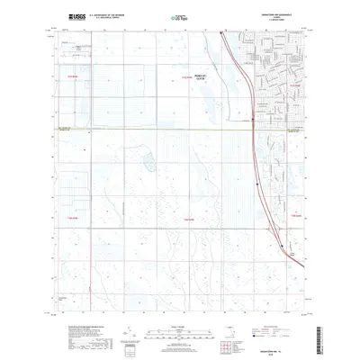
2018 Map of Indiantown NW
USGS Topo · Published 2018About this map
Port St. Lucie expands its residential footprint in the northern portion of this landscape, where a dense grid of suburban streets like SW Rosser Blvd and SW Village Pkwy meets the engineered waterways of the Florida coast. This 2018 survey illustrates the sharp contrast between modern development and the low-lying wetlands to the south. The County Line Canal serves as a literal boundary between St. Lucie and Martin counties, separating the structured growth of the city from the broad, open expanses of the Allapattah Flats. Navigational interests are represented by the Treasure Coast Airpark in the northwest, while the southeastern corner reveals a more rural character near Green Ridge and the natural drainage of Cane Slough. This map is particularly useful for observing the intersection of massive residential planning and environmental preservation.
Find a feature on this map
75 named features on this map. Tap any name to fly to it.
Don’t see what you’re looking for? This feature index may not catch every label — zoom into the map to look around manually.
Map Details
Editions of this 2018 Indiantown NW Map
This is the sole edition of this map. No revisions or reprints were ever made.
Other maps of this area
1948 · Palm City
USGS Topo · 1:24,000
1948 · Ankona
USGS Topo · 1:24,000
1950 · Ankona
USGS Topo · 1:24,000
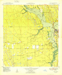
1950 · Palm City
USGS Topo · 1:24,000
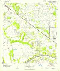
1953 · Okeechobee 4 SE
USGS Topo · 1:24,000
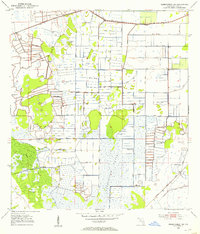
1953 · Okeechobee 1 SE
USGS Topo · 1:24,000
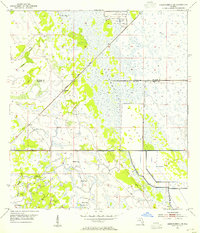
1953 · Okeechobee 4 NE
USGS Topo · 1:24,000
1953 · Indian Town SE
USGS Topo · 1:24,000
1953 · Indian Town NW
USGS Topo · 1:24,000
1953 · Fort Pierce SW
USGS Topo · 1:24,000