
1953 Map of Okeechobee 4 SE
USGS Topo · Published 1954About this map
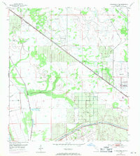
Allapattah Flats dominates the landscape of this southern Florida interior, a region defined by its complex water management and transportation corridors in the early 1950s. The northern portion of the map is bisected by the Seaboard Air Line railroad, running diagonally past the small settlement of Zana. To the south, the St Lucie Canal serves as a major arterial, accompanied by an extensive network of levees, spoil banks, and a designated Project Depth 8 Feet channel. These features reflect the mid-century engineering efforts to control the Everglades' drainage and facilitate inland navigation.
Find a feature on this map
14 named features on this map. Tap any name to fly to it.
Don’t see what you’re looking for? This feature index may not catch every label — zoom into the map to look around manually.
Map Details
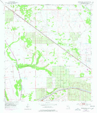
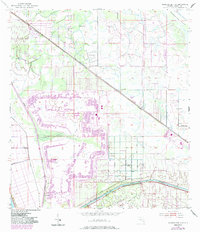
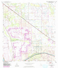
Editions of this 1953 Okeechobee 4 SE Map
5 editions found
Other maps of this area

1953 · Okeechobee 4 SW
USGS Topo · 1:24,000

1953 · Okeechobee 4 NE
USGS Topo · 1:24,000

1953 · Okeechobee 4 NW
USGS Topo · 1:24,000

1953 · Indian Town NW
USGS Topo · 1:24,000

1953 · Indian Town
USGS Topo · 1:24,000

1956 · West Palm Beach
USGS Topo · 1:250,000

1956 · Fort Pierce
USGS Topo · 1:250,000

1957 · West Palm Beach
USGS Topo · 1:250,000

1958 · Fort Pierce
USGS Topo · 1:250,000

1958 · West Palm Beach
USGS Topo · 1:250,000