
1953 Map of Okeechobee 4 NW
USGS Topo · Published 1954About this map
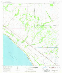
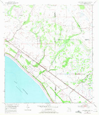
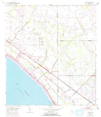
The northeastern shoreline of Lake Okeechobee serves as the dominant landscape feature of this 1950s survey, illustrating the complex intersection of natural Florida wetlands and mid-century civil engineering. Two major railroads, the Seaboard Air Line and the Florida East Coast, run parallel to the coast, facilitating the movement of goods and passengers through this marshy frontier. The map captures a moment when the land was being heavily managed via an extensive Levee system and multiple Spoil Banks, aimed at controlling the waters of Nubbin Slough and Van Swearingen Creek.
Find a feature on this map
17 named features on this map. Tap any name to fly to it.
Don’t see what you’re looking for? This feature index may not catch every label — zoom into the map to look around manually.
Map Details
Editions of this 1953 Okeechobee 4 NW Map
4 editions found
Other maps of this area

1952 · Okeechobee
USGS Topo · 1:24,000

1953 · Okeechobee 4 SW
USGS Topo · 1:24,000

1953 · Okeechobee 4 SE
USGS Topo · 1:24,000

1953 · Okeechobee 1 SE
USGS Topo · 1:24,000

1953 · Okeechobee 4 NE
USGS Topo · 1:24,000

1953 · Okeechobee 1 SW
USGS Topo · 1:24,000

1953 · Taylor Creek SE
USGS Topo · 1:24,000

1956 · Fort Pierce
USGS Topo · 1:250,000

1958 · Fort Pierce
USGS Topo · 1:250,000

1959 · Fort Pierce
USGS Topo · 1:250,000