
1952 Map of Okeechobee
USGS Topo · Published 1954About this map
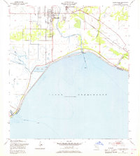
Okeechobee serves as the focal point of this early 1950s survey, situated where the Seaboard Air Line railroad and Taylor Creek meet the northern reaches of Lake Okeechobee. The map documents a critical period of water management and infrastructure development along the lake's rim, featuring an extensive Levee system and a Gaging Station designed to control the flow from local tributaries.
Find a feature on this map
21 named features on this map. Tap any name to fly to it.
Don’t see what you’re looking for? This feature index may not catch every label — zoom into the map to look around manually.
Map Details
Editions of this 1952 Okeechobee Map
4 editions found
Other maps of this area

1952 · Okeechobee NW
USGS Topo · 1:24,000

1953 · Okeechobee 4 SW
USGS Topo · 1:24,000

1953 · Okeechobee SW
USGS Topo · 1:24,000

1953 · Okeechobee 4 NW
USGS Topo · 1:24,000

1953 · Taylor Creek SW
USGS Topo · 1:24,000

1953 · Okeechobee 1 SW
USGS Topo · 1:24,000

1953 · Taylor Creek SE
USGS Topo · 1:24,000

1956 · Fort Pierce
USGS Topo · 1:250,000

1958 · Fort Pierce
USGS Topo · 1:250,000

1959 · Fort Pierce
USGS Topo · 1:250,000