
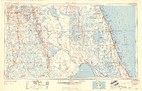
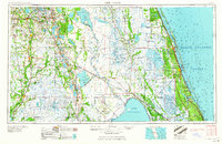
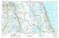
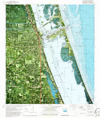
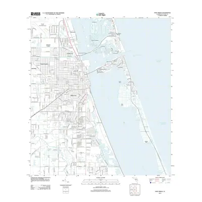
1959 Map of Fort Pierce
USGS Topo · Published 1959About this map
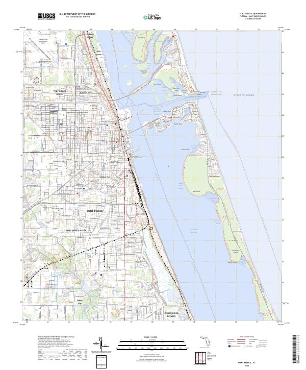
Lake Okeechobee and the vast hydrologic network of central Florida define this mid-century survey. The landscape is characterized by a remarkable concentration of water bodies, from the sprawling Lake Istokpoga to the intricate chain of lakes including Lake Kissimmee, Lake Weohyakapka, and Lake Arbuckle. Along the Atlantic coast, the Indian River lagoon system separates the mainland from Hutchinson Island and Jupiter Island, showing the coastal development of Vero Beach and Fort Pierce before the era of intensive high-rise expansion.
Find a feature on this map
163 named features on this map. Tap any name to fly to it.
Don’t see what you’re looking for? This feature index may not catch every label — zoom into the map to look around manually.
Map Details
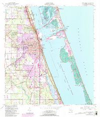
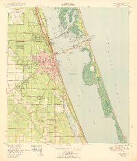
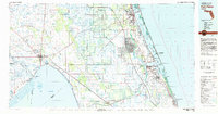
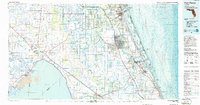
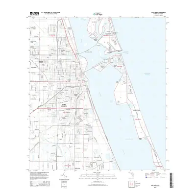
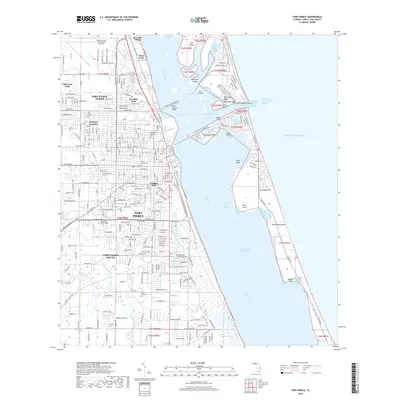
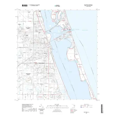
Editions of this 1959 Fort Pierce Map
3 editions found
Historical Maps of Port Saint Lucie Through Time
14 maps found
1949 Fort Pierce
St. Lucie County, FL
1950 Fort Pierce
St. Lucie County, FL
1956 Fort Pierce
St. Lucie County, FL

1958 Fort Pierce
St. Lucie County, FL
1959 Fort Pierce
St. Lucie County, FL
1972 Fort Pierce
St. Lucie County, FL
1981 Fort Pierce
St. Lucie County, FL
1986 Fort Pierce
St. Lucie County, FL

1988 Fort Pierce
St. Lucie County, FL
2012 Fort Pierce
St. Lucie County, FL
2015 Fort Pierce
St. Lucie County, FL
2018 Fort Pierce
St. Lucie County, FL
2021 Fort Pierce
St. Lucie County, FL
2024 Fort Pierce
St. Lucie County, FL