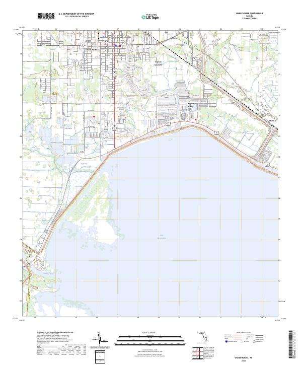
1952 Map of Okeechobee
USGS Topo · Published 1969About this map
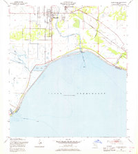
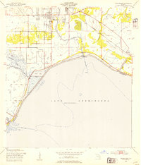
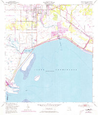
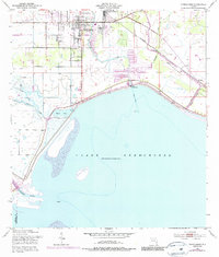
The town of Okeechobee serves as the focal point of this mid-century landscape where the northern shores of Lake Okeechobee meet the central Florida rail and water networks. A massive Levee system defines the lakeshore, protecting the inland settlements of Cypress Quarters and Sherman from the waters of Eagle Bay. The area is a hub of transportation and water management, evidenced by the convergence of the Seaboard Air Line and S A L railroads alongside a complex network of waterways including Taylor Creek and the Kissimmee R. Local infrastructure is highly detailed, showing the Hospital, Waterworks, and a Gaging Station along the levee. Natural drainage features such as Popash Slough, Lemkin Creek, and Mosquito Creek illustrate the low-lying, marshy character of the region before further modern development.
Find a feature on this map
23 named features on this map. Tap any name to fly to it.
Don’t see what you’re looking for? This feature index may not catch every label — zoom into the map to look around manually.
Map Details
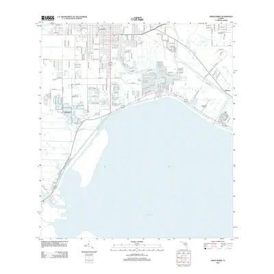
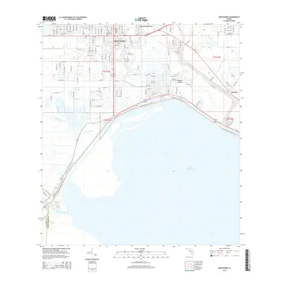
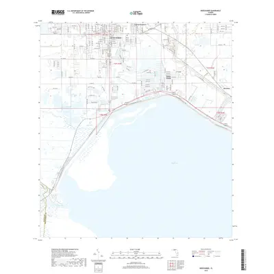
Editions of this 1952 Okeechobee Map
4 editions found
Historical Maps of Okeechobee Through Time
6 maps found