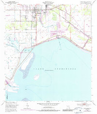
1952 Map of Okeechobee
USGS Topo · Published 1987About this map
The town of Okeechobee serves as the focal point of this coastal survey, where the northern shoreline of Lake Okeechobee meets the extensive hydrological networks of south-central Florida. This era captures the critical infrastructure managing the region's water, notably the Kissimmee River entry and the prominent Levee system protecting developed areas like Cypress Quarters. The landscape is defined by its transition from organized grid streets and landmarks like Flagler Park to the swampy wetlands and sloughs that feed the lake.
Find a feature on this map
22 named features on this map. Tap any name to fly to it.
Don’t see what you’re looking for? This feature index may not catch every label — zoom into the map to look around manually.
Map Details
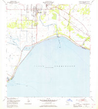
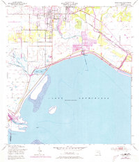
Editions of this 1952 Okeechobee Map
4 editions found
Other maps of this area

1952 · Okeechobee NW
USGS Topo · 1:24,000

1952 · Okeechobee
USGS Topo · 1:24,000

1953 · Okeechobee 4 SW
USGS Topo · 1:24,000

1953 · Okeechobee SW
USGS Topo · 1:24,000

1953 · Okeechobee 4 NW
USGS Topo · 1:24,000

1953 · Taylor Creek SW
USGS Topo · 1:24,000

1953 · Okeechobee 1 SW
USGS Topo · 1:24,000

1953 · Taylor Creek SE
USGS Topo · 1:24,000

1956 · Fort Pierce
USGS Topo · 1:250,000

1958 · Fort Pierce
USGS Topo · 1:250,000