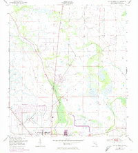
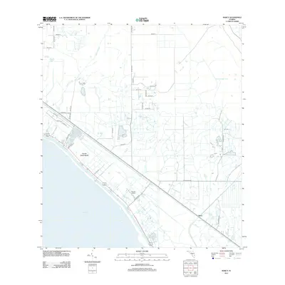
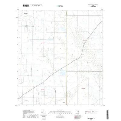
1953 Map of Marcy
USGS Topo · Published 1993About this map
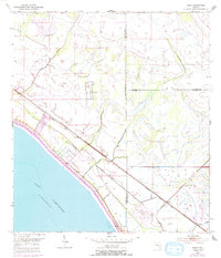
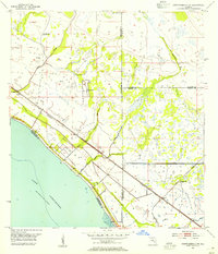
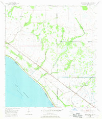
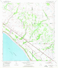
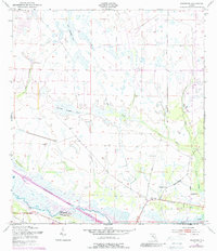
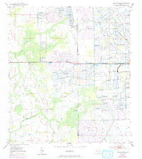
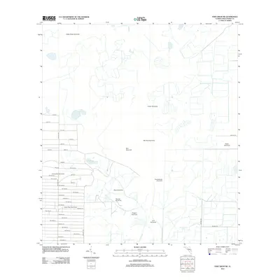
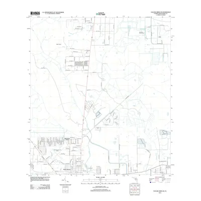
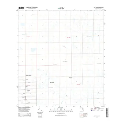
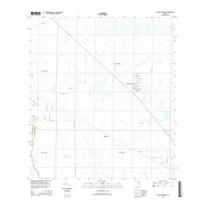
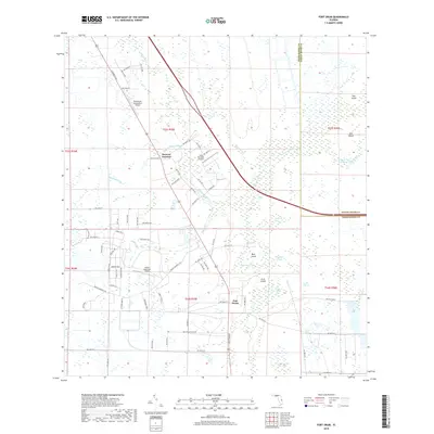
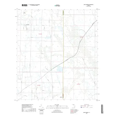
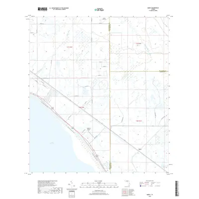
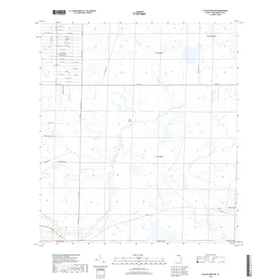
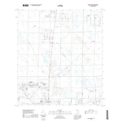
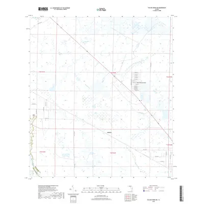
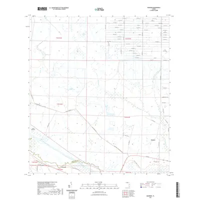
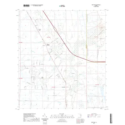
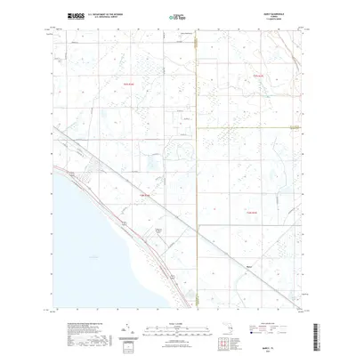
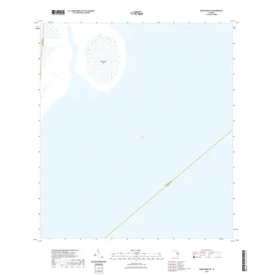
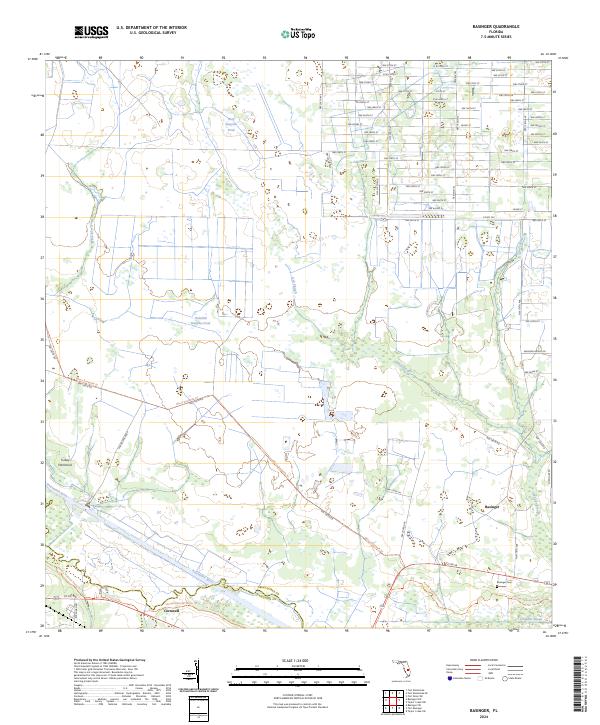
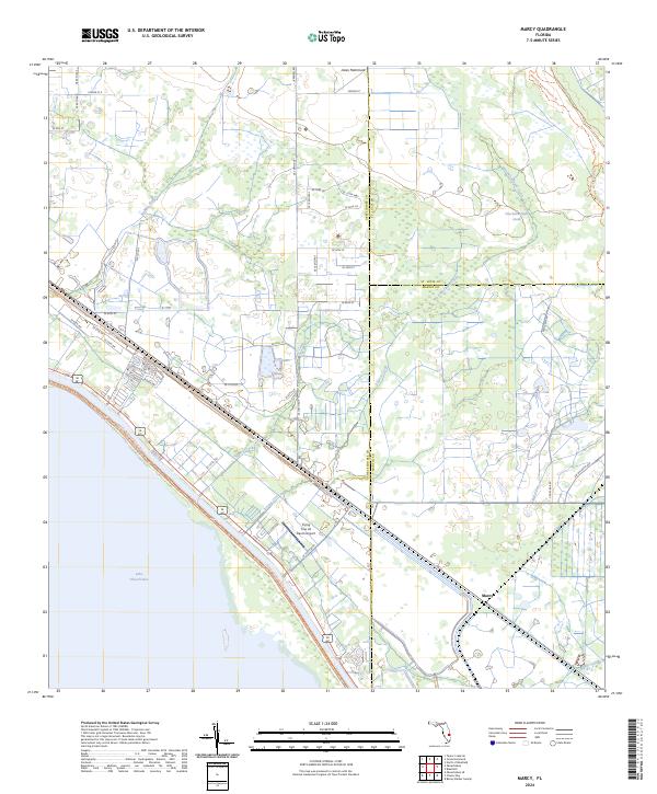
Lake Okeechobee dominates the southwestern corner of this coastal landscape, where the shoreline is defined by an extensive Spoil Bank system. The northeastern shore area transitions from open water to a network of drainage and transport, anchored by the Seaboard Coast Line railroad and Florida 710, which run parallel to the lake's edge. This infrastructure facilitated the development of small settlements like Marcy and Myrtle, situated at the intersection of rail and road.
Find a feature on this map
17 named features on this map. Tap any name to fly to it.
Don’t see what you’re looking for? This feature index may not catch every label — zoom into the map to look around manually.
Map Details
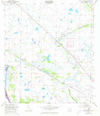
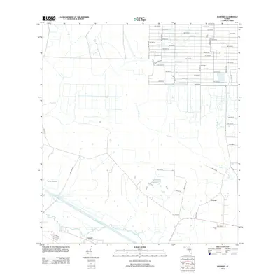
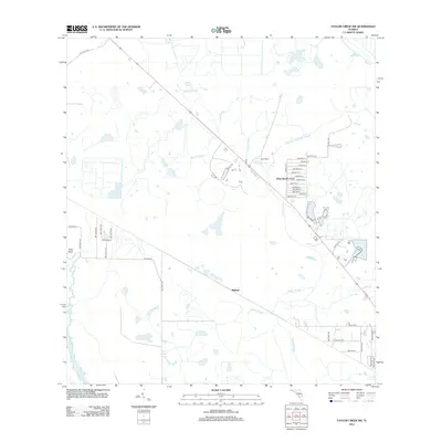
Editions of this 1953 Marcy Map
4 editions found
Historical Maps of Marcy Through Time
72 maps found
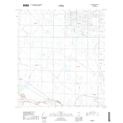
1953 Basinger
Okeechobee County, FL
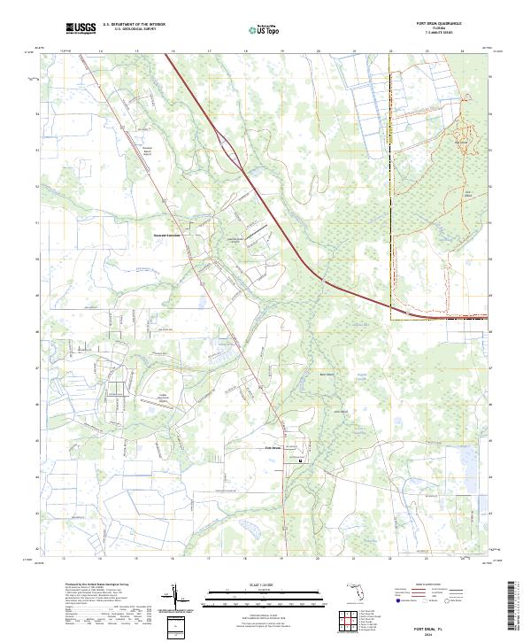
1953 Fort Drum
Okeechobee County, FL
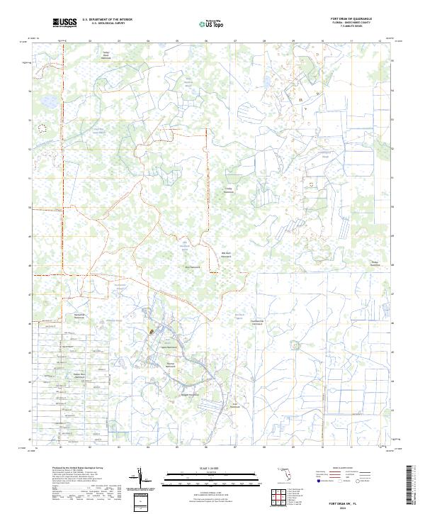
1953 Fort Drum SW
Okeechobee County, FL
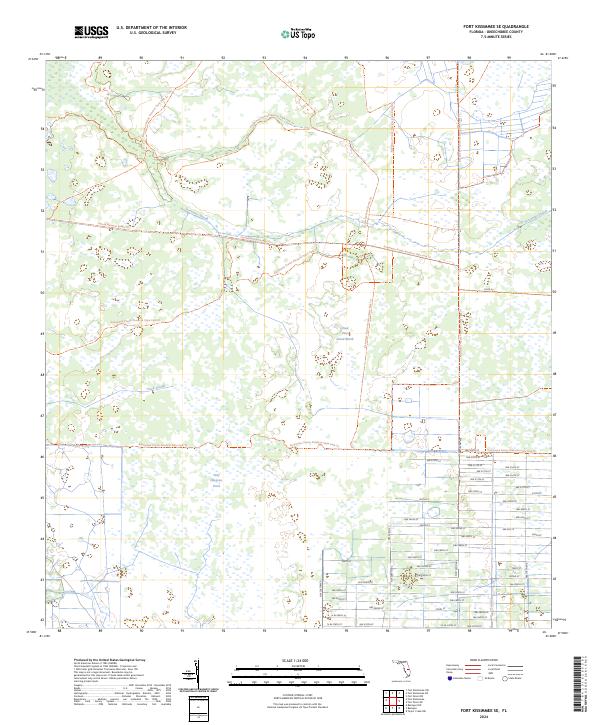
1953 Fort Kissimmee SE
Okeechobee County, FL
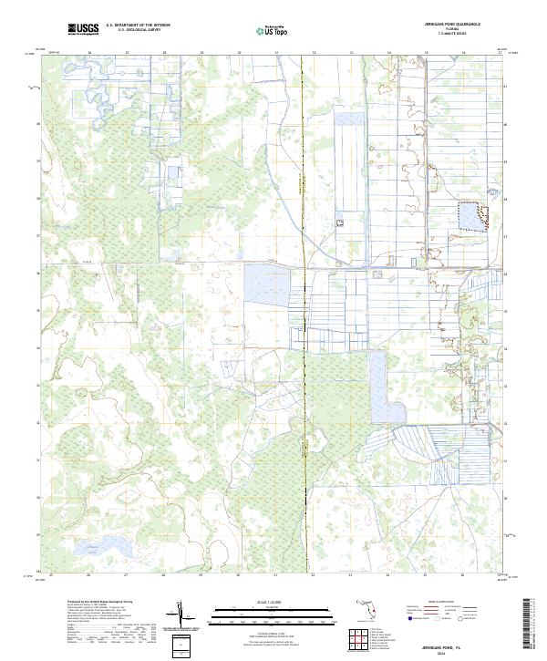
1953 Jernigans Pond
Okeechobee County, FL
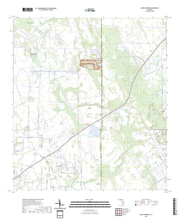
1953 Jones Hammock
Okeechobee County, FL
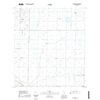
1953 Marcy
Okeechobee County, FL
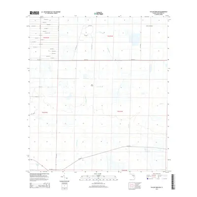
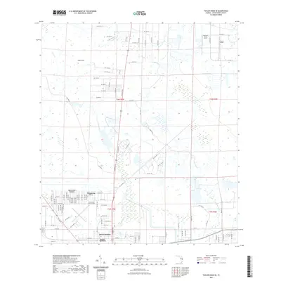
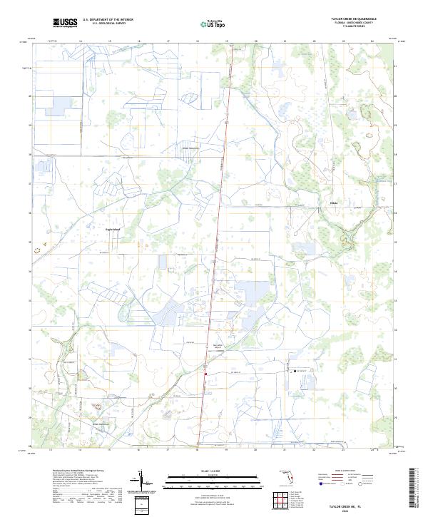
1953 Taylor Creek NE
Okeechobee County, FL
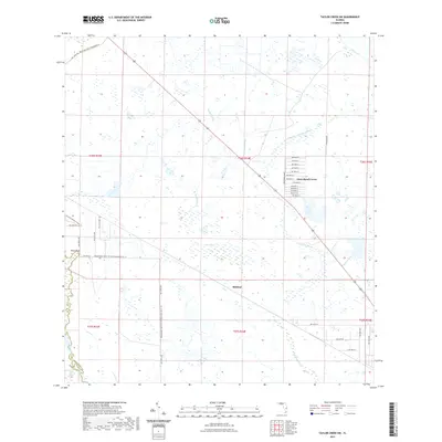
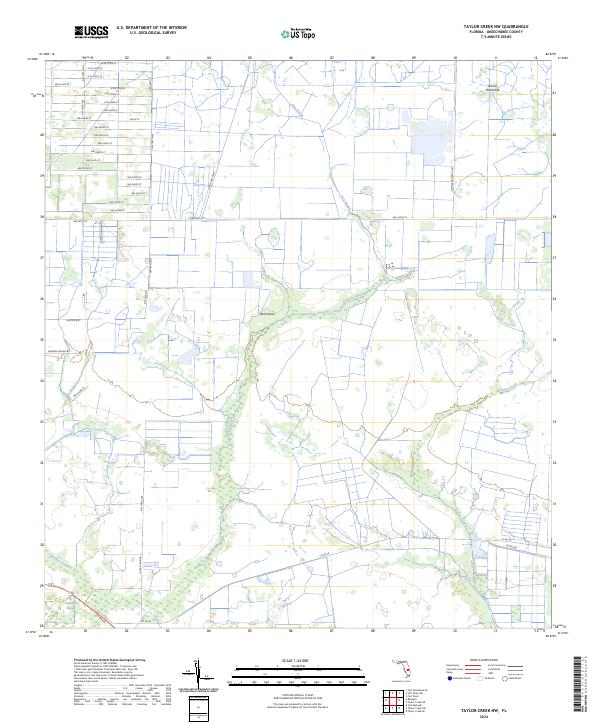
1953 Taylor Creek NW
Okeechobee County, FL
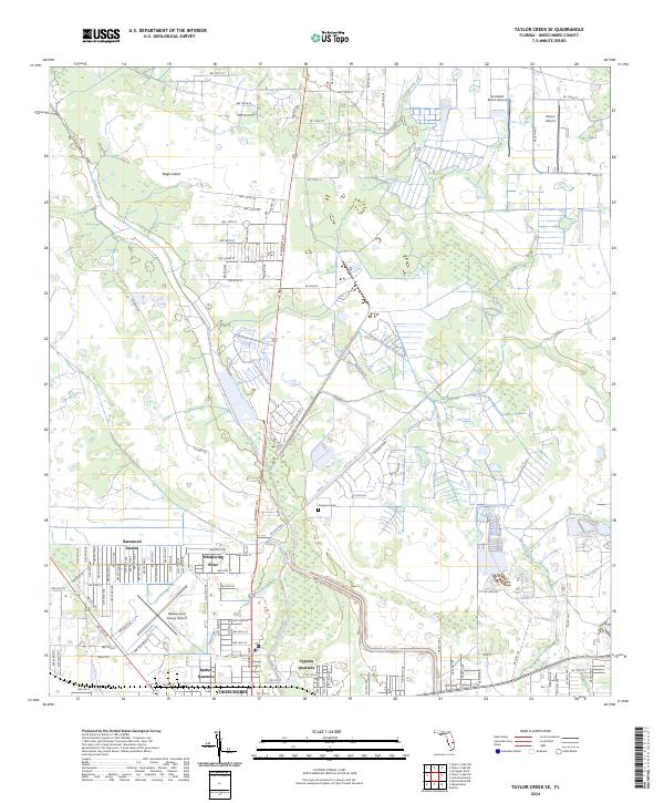
1953 Taylor Creek SE
Okeechobee County, FL
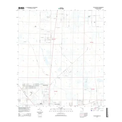
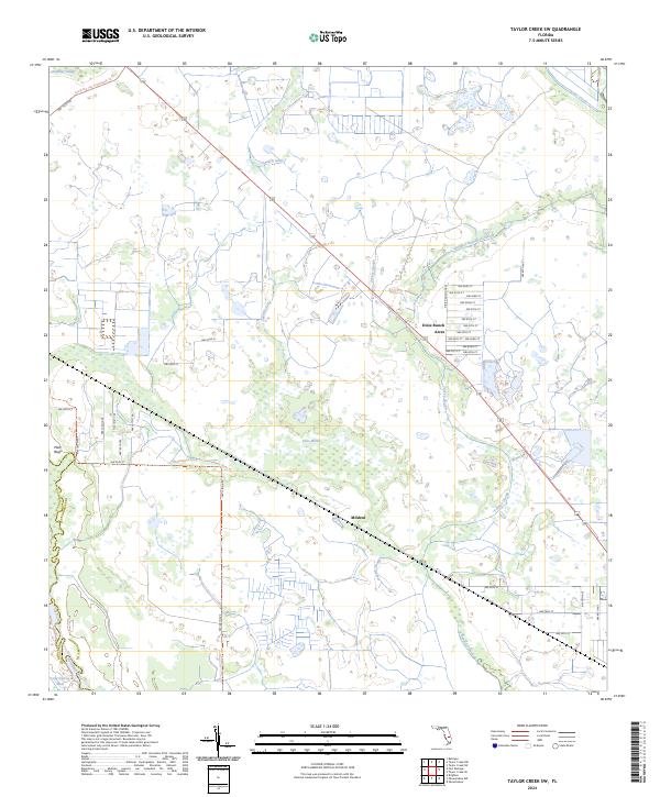
1953 Taylor Creek SW
Okeechobee County, FL
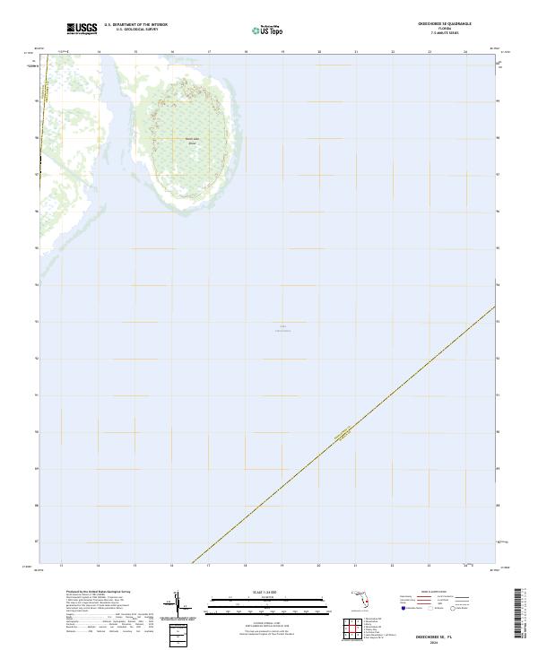
1971 Okeechobee SE
Okeechobee County, FL
2012 Basinger
Okeechobee County, FL

2012 Fort Drum
Okeechobee County, FL
2012 Fort Drum SW
Okeechobee County, FL
2012 Fort Kissimmee SE
Okeechobee County, FL
2012 Jernigans Pond
Okeechobee County, FL
2012 Jones Hammock
Okeechobee County, FL
2012 Marcy
Okeechobee County, FL
2012 Okeechobee SE
Okeechobee County, FL
2012 Taylor Creek NE
Okeechobee County, FL
2012 Taylor Creek NW
Okeechobee County, FL
2012 Taylor Creek SE
Okeechobee County, FL
2012 Taylor Creek SW
Okeechobee County, FL
2015 Basinger
Okeechobee County, FL
2015 Fort Drum
Okeechobee County, FL
2015 Fort Drum SW
Okeechobee County, FL
2015 Fort Kissimmee SE
Okeechobee County, FL

2015 Jernigans Pond
Okeechobee County, FL
2015 Jones Hammock
Okeechobee County, FL

2015 Marcy
Okeechobee County, FL

2015 Okeechobee SE
Okeechobee County, FL
2015 Taylor Creek NE
Okeechobee County, FL
2015 Taylor Creek NW
Okeechobee County, FL
2015 Taylor Creek SE
Okeechobee County, FL
2015 Taylor Creek SW
Okeechobee County, FL
2018 Basinger
Okeechobee County, FL
2018 Fort Drum
Okeechobee County, FL
2018 Fort Drum SW
Okeechobee County, FL
2018 Fort Kissimmee SE
Okeechobee County, FL
2018 Jernigans Pond
Okeechobee County, FL
2018 Jones Hammock
Okeechobee County, FL
2018 Marcy
Okeechobee County, FL
2018 Okeechobee SE
Okeechobee County, FL
2018 Taylor Creek NE
Okeechobee County, FL
2018 Taylor Creek NW
Okeechobee County, FL
2018 Taylor Creek SE
Okeechobee County, FL
2018 Taylor Creek SW
Okeechobee County, FL
2021 Basinger
Okeechobee County, FL
2021 Fort Drum
Okeechobee County, FL
2021 Fort Drum SW
Okeechobee County, FL
2021 Fort Kissimmee SE
Okeechobee County, FL
2021 Jernigans Pond
Okeechobee County, FL
2021 Jones Hammock
Okeechobee County, FL
2021 Marcy
Okeechobee County, FL
2021 Okeechobee SE
Okeechobee County, FL
2021 Taylor Creek NE
Okeechobee County, FL
2021 Taylor Creek NW
Okeechobee County, FL
2021 Taylor Creek SE
Okeechobee County, FL
2021 Taylor Creek SW
Okeechobee County, FL
2024 Basinger
Okeechobee County, FL
2024 Fort Drum
Okeechobee County, FL
2024 Fort Drum SW
Okeechobee County, FL
2024 Fort Kissimmee SE
Okeechobee County, FL
2024 Jernigans Pond
Okeechobee County, FL
2024 Jones Hammock
Okeechobee County, FL
2024 Marcy
Okeechobee County, FL
2024 Okeechobee SE
Okeechobee County, FL
2024 Taylor Creek NE
Okeechobee County, FL
2024 Taylor Creek NW
Okeechobee County, FL
2024 Taylor Creek SE
Okeechobee County, FL
2024 Taylor Creek SW
Okeechobee County, FL