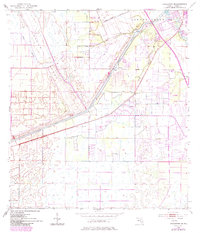
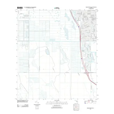
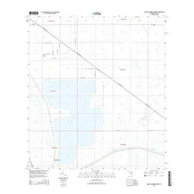
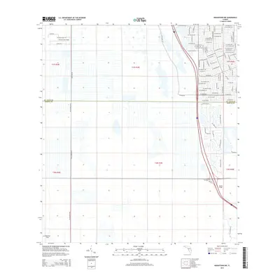
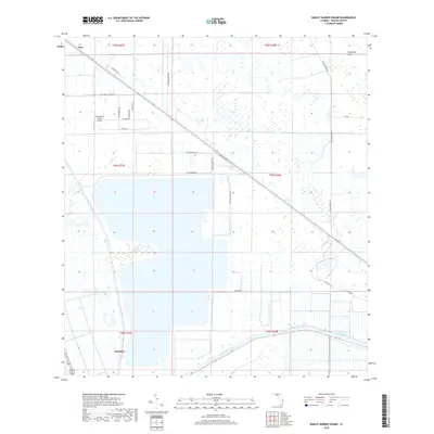
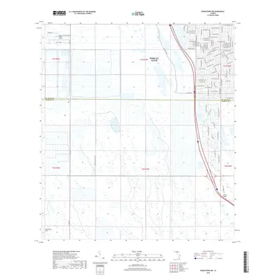
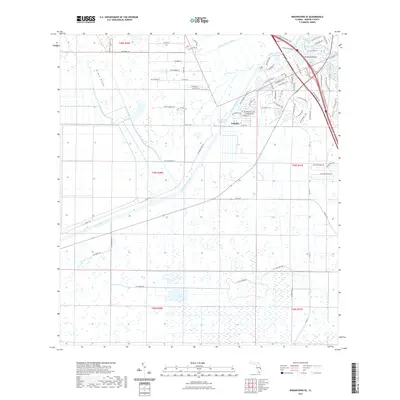
1953 Map of Okeechobee 4 SE
USGS Topo · Published 1971About this map
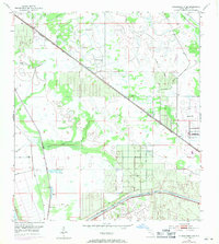
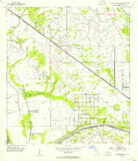
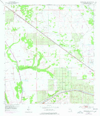
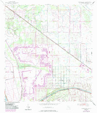
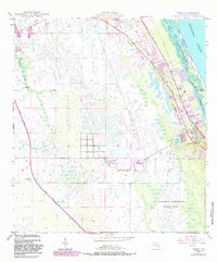
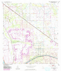
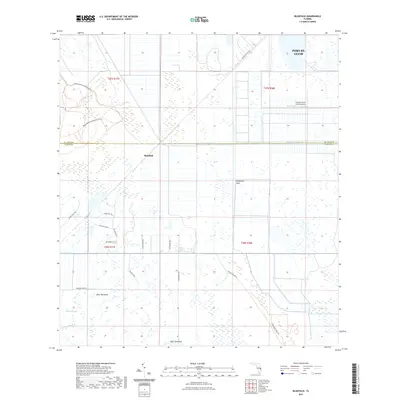
Allapattah Flats dominates the northern portion of this South Florida landscape, where a network of levees and drainage projects shaped the territory in the mid-20th century. The Seaboard Coast Line railroad cuts a straight diagonal across the terrain, passing through the settlement of Zana and running parallel to an Old Railroad Grade. To the south, the St Lucie Canal serves as a major hydrological artery, noted here with a Project Depth 8 Feet. Small outposts like Bessemer and scattered landmarks such as a Windmill or Sand Pit highlight the era's rural industrial activity. The presence of several Flowing Wells and the sprawling Barber Swamp reflect the natural wetlands being actively managed through extensive Spoil Banks and engineering during this period of expansion in Martin County.
Find a feature on this map
14 named features on this map. Tap any name to fly to it.
Don’t see what you’re looking for? This feature index may not catch every label — zoom into the map to look around manually.
Map Details
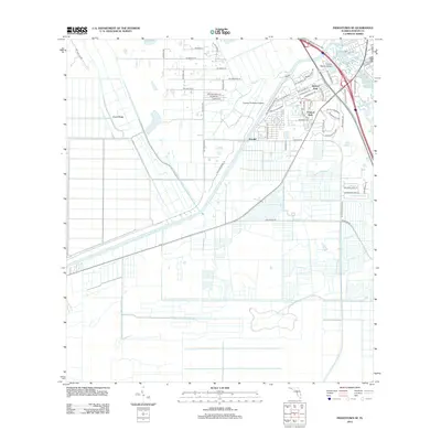
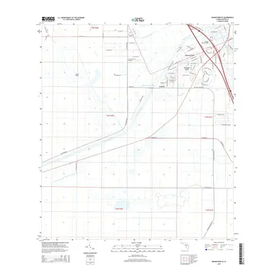
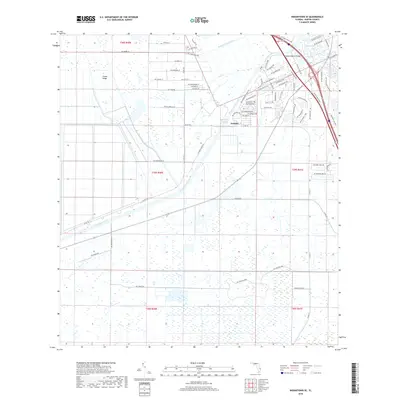
Editions of this 1953 Okeechobee 4 SE Map
5 editions found
Historical Maps of Zana Through Time
49 maps found
1948 Gomez
Martin County, FL
1948 St. Lucie Inlet
Martin County, FL
1949 Gomez
Martin County, FL
1950 St. Lucie Inlet
Martin County, FL
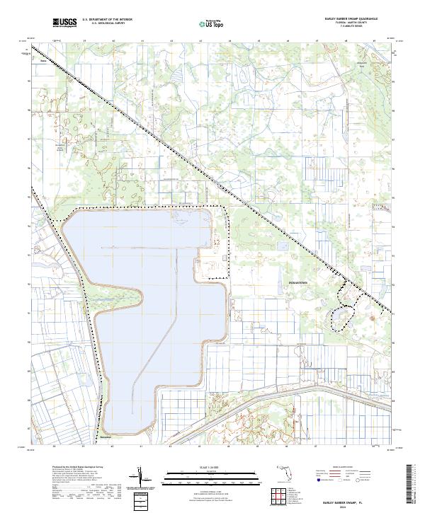
1953 Barley Barber Swamp
Martin County, FL
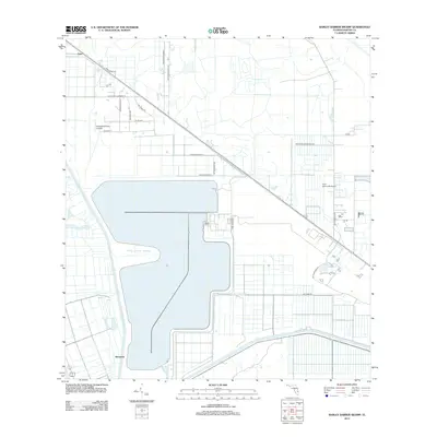
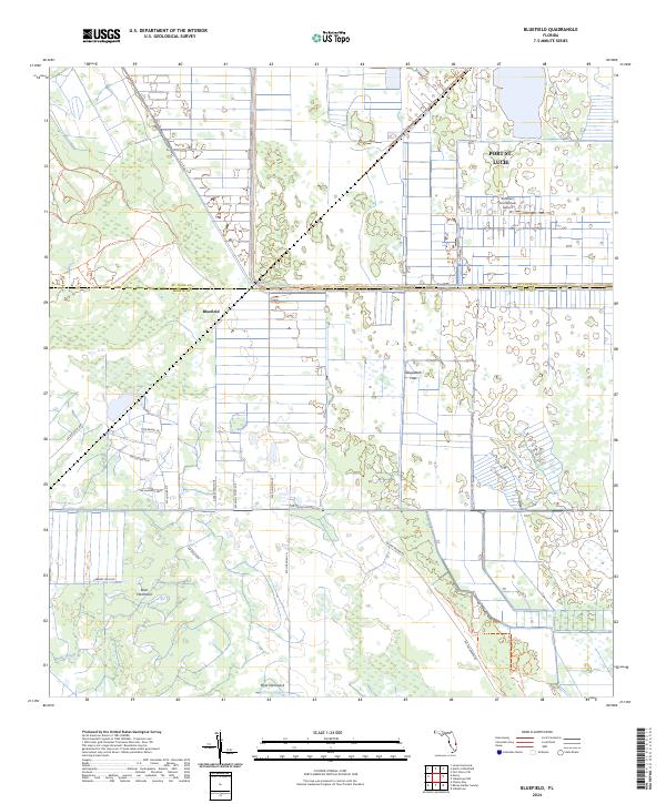
1953 Bluefield
Martin County, FL
1953 Chaney Bay
Martin County, FL
1953 Indiantown NW
Martin County, FL
1953 Indiantown SE
Martin County, FL
2012 Barley Barber Swamp
Martin County, FL
2012 Bluefield
Martin County, FL

2012 Chancy Bay
Martin County, FL
2012 Gomez
Martin County, FL
2012 Indiantown NW
Martin County, FL
2012 Indiantown SE
Martin County, FL
2012 Port Mayaca OE W
Martin County, FL
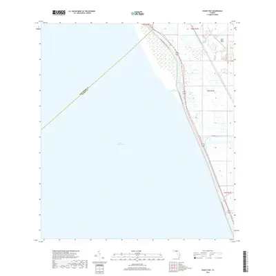
2012 Saint Lucie Inlet
Martin County, FL
2015 Barley Barber Swamp
Martin County, FL
2015 Bluefield
Martin County, FL
2015 Chancy Bay
Martin County, FL
2015 Gomez
Martin County, FL
2015 Indiantown NW
Martin County, FL
2015 Indiantown SE
Martin County, FL
2015 Port Mayaca OE W
Martin County, FL
2015 Saint Lucie Inlet
Martin County, FL
2018 Barley Barber Swamp
Martin County, FL
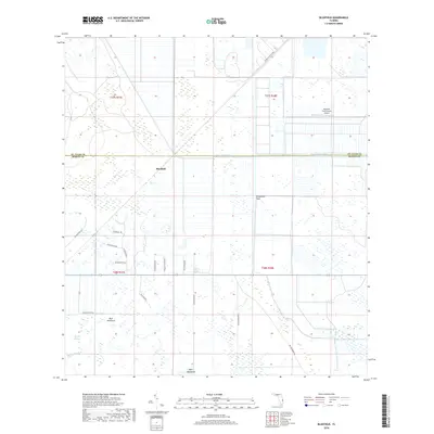
2018 Bluefield
Martin County, FL
2018 Chancy Bay
Martin County, FL
2018 Gomez
Martin County, FL
2018 Indiantown NW
Martin County, FL
2018 Indiantown SE
Martin County, FL
2018 Port Mayaca OE W
Martin County, FL
2018 Saint Lucie Inlet
Martin County, FL

2021 Barley Barber Swamp
Martin County, FL
2021 Bluefield
Martin County, FL
2021 Chancy Bay
Martin County, FL
2021 Gomez
Martin County, FL
2021 Indiantown NW
Martin County, FL
2021 Indiantown SE
Martin County, FL
2021 Port Mayaca OE W
Martin County, FL

2021 Saint Lucie Inlet
Martin County, FL
2024 Barley Barber Swamp
Martin County, FL
2024 Bluefield
Martin County, FL
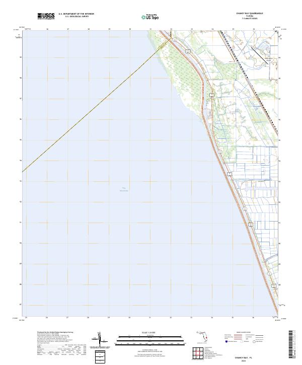
2024 Chancy Bay
Martin County, FL
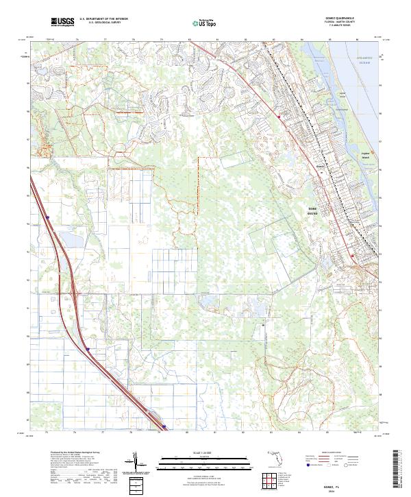
2024 Gomez
Martin County, FL
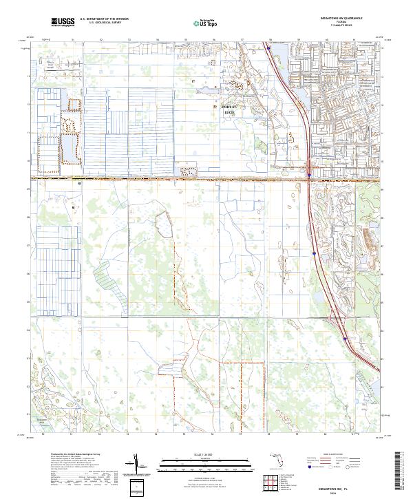
2024 Indiantown NW
Martin County, FL
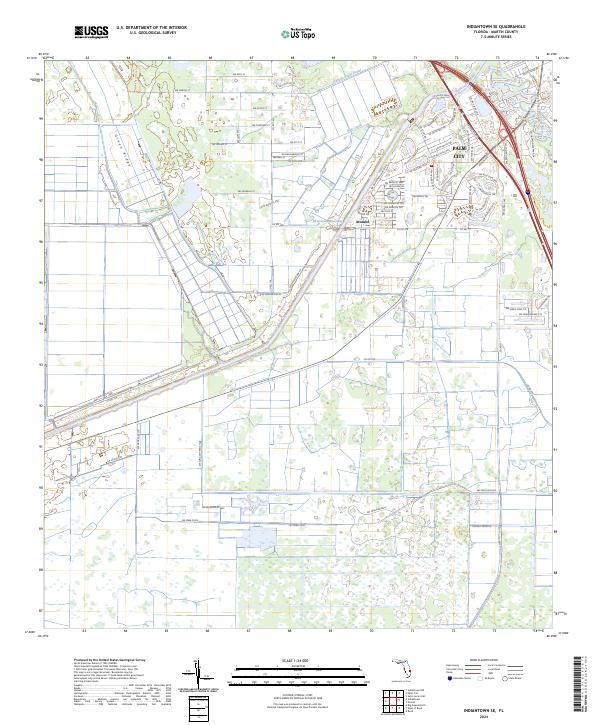
2024 Indiantown SE
Martin County, FL
2024 Port Mayaca OE W
Martin County, FL
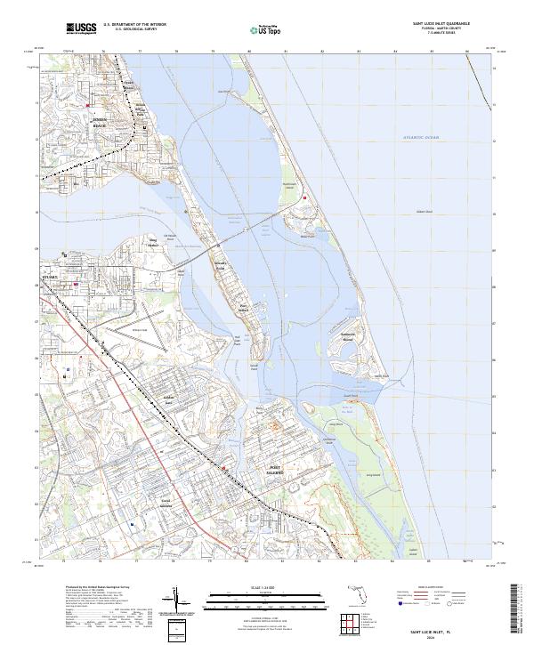
2024 Saint Lucie Inlet
Martin County, FL