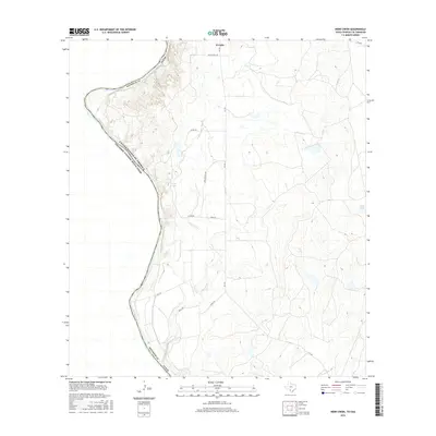
2016 Map of Indio Creek
USGS Topo · Published 2016About this map
Rio Grande defines the international boundary in this part of Maverick County, where the river meanders through a landscape marked by intermittent drainages and ranching infrastructure. The settlement of El Indio sits at the northern edge of this study, serving as a hub for a network of rural routes such as Stone Ranch Rd and FM 1021. The terrain is shaped by the winding course of Indio Creek, which flows toward the river and feeds the small Indio Lake. To the east, the land rises into more complex contour patterns where isolated water features like Lopez Tank and the seasonal Cuervo Cr appear among the scrub. This survey provides a clear look at the borderlands of the mid-2010s, illustrating the distribution of cattle tanks and local roads like Don Sevaster Rd that are vital to the regional agricultural economy.
Find a feature on this map
20 named features on this map. Tap any name to fly to it.
Don’t see what you’re looking for? This feature index may not catch every label — zoom into the map to look around manually.
Map Details
Editions of this 2016 Indio Creek Map
This is the sole edition of this map. No revisions or reprints were ever made.
Other maps of this area
1940 · Cometa
USGS Topo · 1:62,500
1940 · Eagle Pass
USGS Topo · 1:62,500
1941 · Botella Creek
USGS Topo · 1:62,500
1957 · Indio Creek
USGS Topo · 1:62,500
1957 · Botella Creek
USGS Topo · 1:62,500
1958 · Eagle Pass
USGS Topo · 1:250,000
1965 · Eagle Pass
USGS Topo · 1:250,000
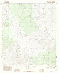
1982 · Tovar Creek East
USGS Topo · 1:24,000
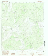
1982 · Indio Tank
USGS Topo · 1:24,000
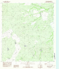
1982 · Farias Ranch
USGS Topo · 1:24,000