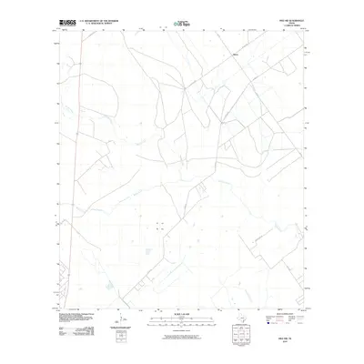
2010 Map of Inez NW
USGS Topo · Published 2010About this map
Salem serves as the primary focal point of this coastal plain landscape in Victoria County, where the transition from agriculture to ranching is evidenced by the network of rural roads and land divisions. The hydrology of the region is defined by the meandering course of Garcitas Creek, which dominates the central and eastern portions of the quadrangle. Other drainage patterns, including Willow Creek and Casa Blanca Creek, shape the low-lying terrain. The transportation grid is characterized by a mix of state and local routes, including FM 444 and numerous named local roads such as Salem Rd, Fuhrman Rd, and J-2 Ranch Rd, which suggest established family holdings and ranching operations. This 2010 survey reflects a contemporary view of the Texas coastal prairies before significant modern suburban expansion reached this specific corridor.
Find a feature on this map
13 named features on this map. Tap any name to fly to it.
Don’t see what you’re looking for? This feature index may not catch every label — zoom into the map to look around manually.
Map Details
Editions of this 2010 Inez NW Map
This is the sole edition of this map. No revisions or reprints were ever made.
Other maps of this area

1951 · Inez NW
USGS Topo · 1:24,000

1951 · Inez
USGS Topo · 1:24,000

1952 · Marcado Creek
USGS Topo · 1:24,000

1952 · Victoria East
USGS Topo · 1:24,000

1953 · Beeville
USGS Topo · 1:250,000

1953 · Seguin
USGS Topo · 1:250,000

1956 · Beeville
USGS Topo · 1:250,000

1958 · Seguin
USGS Topo · 1:250,000

1960 · Beeville
USGS Topo · 1:250,000

1963 · Fordtran
USGS Topo · 1:24,000