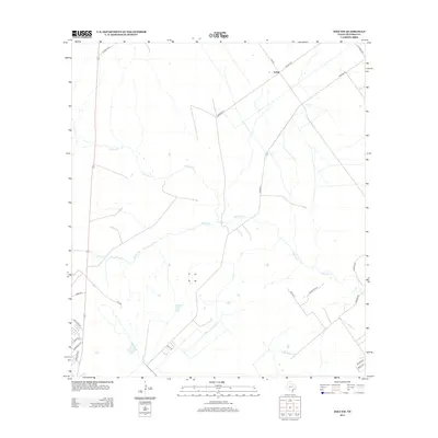
2013 Map of Inez NW
USGS Topo · Published 2013About this map
Salem serves as the primary landmark in this rural landscape northeast of Victoria, where the coastal plains are defined by winding waterways and long-established ranching routes. The drainage patterns of Garcitas Cr and Willow Cr dictate the layout of the local infrastructure, with larger ranch parcels separated by these natural boundaries. Further south, Casa Blanca Cr meanders through a territory crisscrossed by a network of named local roads. The naming of routes such as Furhman Rd, Karnes Rd, and Beck Rd E suggests the legacy of local families and historical property lines. A small concentration of residential streets, including Northside Rd and Edinburgh St, appears in the southwestern corner, indicating localized growth near the edges of the broader Victoria area during the early twenty-first century.
Find a feature on this map
23 named features on this map. Tap any name to fly to it.
Don’t see what you’re looking for? This feature index may not catch every label — zoom into the map to look around manually.
Map Details
Editions of this 2013 Inez NW Map
This is the sole edition of this map. No revisions or reprints were ever made.
Other maps of this area

1951 · Inez NW
USGS Topo · 1:24,000

1951 · Inez
USGS Topo · 1:24,000

1952 · Marcado Creek
USGS Topo · 1:24,000

1952 · Victoria East
USGS Topo · 1:24,000

1953 · Beeville
USGS Topo · 1:250,000

1953 · Seguin
USGS Topo · 1:250,000

1956 · Beeville
USGS Topo · 1:250,000

1958 · Seguin
USGS Topo · 1:250,000

1960 · Beeville
USGS Topo · 1:250,000

1963 · Fordtran
USGS Topo · 1:24,000