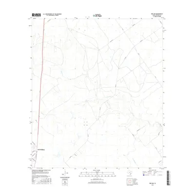
2016 Map of Inez NW
USGS Topo · Published 2016About this map
The northern reaches of Victoria expand into a landscape defined by meandering coastal plain tributaries and ranching infrastructure. This survey captures the transition from urban residential streets like Northside Rd and N Navarro St into the open drainage basins of Garcitas Cr and Willow Cr. The layout of the land is shaped by established transport corridors, including Fm 444 and a network of rural routes such as Salem Rd and J-2 Ranch Rd that serve local agricultural interests. In the southeastern portion, the winding path of Casa Blanca Cr cuts through the terrain near several family-named landmarks like Wigington Ln and Benbow Rd, providing a clear view of the regional hydrography before it meets the nearby coastal bay systems.
Find a feature on this map
23 named features on this map. Tap any name to fly to it.
Don’t see what you’re looking for? This feature index may not catch every label — zoom into the map to look around manually.
Map Details
Editions of this 2016 Inez NW Map
This is the sole edition of this map. No revisions or reprints were ever made.
Other maps of this area
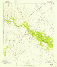
1951 · Inez NW
USGS Topo · 1:24,000
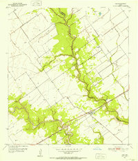
1951 · Inez
USGS Topo · 1:24,000
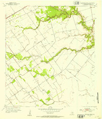
1952 · Marcado Creek
USGS Topo · 1:24,000
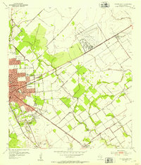
1952 · Victoria East
USGS Topo · 1:24,000

1953 · Beeville
USGS Topo · 1:250,000

1953 · Seguin
USGS Topo · 1:250,000

1956 · Beeville
USGS Topo · 1:250,000

1958 · Seguin
USGS Topo · 1:250,000

1960 · Beeville
USGS Topo · 1:250,000
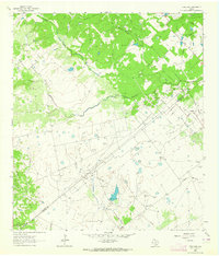
1963 · Fordtran
USGS Topo · 1:24,000