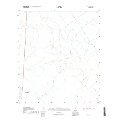
2019 Map of Inez NW
USGS Topo · Published 2019About this map
The low-lying coastal plains of Victoria unfold across this 2019 survey, where the winding courses of Garcitas Cr and Willow Cr define the hydrological character of the landscape. This area, northwest of Inez, demonstrates a transition from the developing residential fringes of the city to more expansive ranching and agricultural tracts. Modern road development like 77 and Salem Rd bisects the terrain, providing access to sprawling properties often identified by family-named routes such as Fuhrman Rd and Karnes Rd.
Find a feature on this map
25 named features on this map. Tap any name to fly to it.
Don’t see what you’re looking for? This feature index may not catch every label — zoom into the map to look around manually.
Map Details
Editions of this 2019 Inez NW Map
This is the sole edition of this map. No revisions or reprints were ever made.
Other maps of this area

1951 · Inez NW
USGS Topo · 1:24,000

1951 · Inez
USGS Topo · 1:24,000

1952 · Marcado Creek
USGS Topo · 1:24,000

1952 · Victoria East
USGS Topo · 1:24,000

1953 · Beeville
USGS Topo · 1:250,000

1953 · Seguin
USGS Topo · 1:250,000

1956 · Beeville
USGS Topo · 1:250,000

1958 · Seguin
USGS Topo · 1:250,000

1960 · Beeville
USGS Topo · 1:250,000

1963 · Fordtran
USGS Topo · 1:24,000