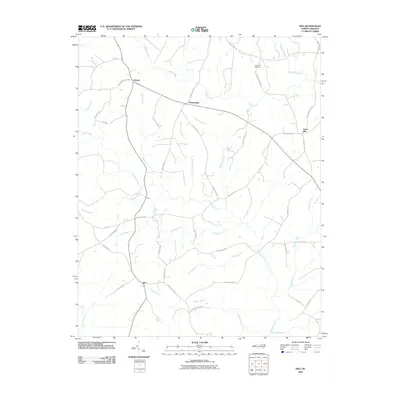
2010 Map of Inez
USGS Topo · Published 2010About this map
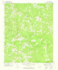
Liberia and Marmaduke anchor the northern reaches of this Warren County landscape, where rural life is defined by a dense network of creek branches and agricultural access roads. The terrain is deeply inscribed by water, with Fishing Creek and its many tributaries, including Wolfpit Branch and Hogpen Branch, carving paths through the Piedmont countryside. In the southeast, the settlement of Inez sits at a junction of local routes like Inez Arcola RD, serving as a focal point for the surrounding farmsteads.
Find a feature on this map
50 named features on this map. Tap any name to fly to it.
Don’t see what you’re looking for? This feature index may not catch every label — zoom into the map to look around manually.
Map Details
Editions of this 2010 Inez Map
This is the sole edition of this map. No revisions or reprints were ever made.
Other maps of this area

1953 · Norfolk
USGS Topo · 1:250,000

1953 · Greensboro
USGS Topo · 1:250,000

1954 · Greensboro
USGS Topo · 1:250,000

1962 · Greensboro
USGS Topo · 1:250,000
1963 · Essex
USGS Topo · 1:24,000

1966 · Greensboro
USGS Topo · 1:250,000
1970 · Macon
USGS Topo · 1:24,000
1970 · Warrenton
USGS Topo · 1:24,000
1971 · Inez
USGS Topo · 1:24,000
1971 · Afton
USGS Topo · 1:24,000