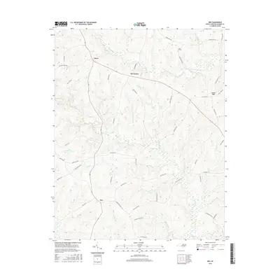
2016 Map of Inez
USGS Topo · Published 2016About this map
Liberia and the surrounding Warren County countryside are defined by a dense network of local roads and winding creek branches. This landscape is characterized by its agricultural character and dispersed settlements, including Inez, Marmaduke, and Grove Hill. The naming of the local infrastructure reveals a history of family landholdings and small community centers, with routes such as Baltimore Church Rd and Lickskillet Rd connecting the various homesteads. Waterways like Fishing Cr and Gum Pond Br provide the primary drainage for the undulating terrain. Genealogists may find particular interest in the Lovely Hill Cem, situated near Mountain View Rd, while the naming of lanes like Coplin Quarter Rd and Rabbit Bottom Rd reflects the long-standing vernacular history of this rural North Carolina region.
Find a feature on this map
53 named features on this map. Tap any name to fly to it.
Don’t see what you’re looking for? This feature index may not catch every label — zoom into the map to look around manually.
Map Details
Editions of this 2016 Inez Map
This is the sole edition of this map. No revisions or reprints were ever made.
Other maps of this area

1953 · Norfolk
USGS Topo · 1:250,000

1953 · Greensboro
USGS Topo · 1:250,000

1954 · Greensboro
USGS Topo · 1:250,000

1962 · Greensboro
USGS Topo · 1:250,000

1963 · Essex
USGS Topo · 1:24,000

1966 · Greensboro
USGS Topo · 1:250,000
1970 · Macon
USGS Topo · 1:24,000
1970 · Warrenton
USGS Topo · 1:24,000

1971 · Inez
USGS Topo · 1:24,000

1971 · Afton
USGS Topo · 1:24,000