
2019 Map of Inez
USGS Topo · Published 2019About this map
Inez and Liberia anchor this rural section of Warren County, where a intricate network of creeks and branches feeds into the larger Fishing Cr system. The landscape is defined by the convergence of small drainages such as Bobbitts Br, Black Br, and Wolfpit Br, which weave through the agricultural and wooded terrain. Significant local history is etched into the road names themselves, with Baltimore Church Rd, Hardy Cemetery Rd, and Old Mill Rd indicating the locations of former community centers and industry that shaped the area. The small settlements of Marmaduke and Grove Hill remain prominent landmarks along the winding secondary routes. For genealogists, the presence of Lovely Hill Cem and numerous family-named roads like Ridley Powell Rd and Gillis Alston Rd provides specific geographic markers for tracing family landholdings and community movement in the northern Piedmont.
Find a feature on this map
53 named features on this map. Tap any name to fly to it.
Don’t see what you’re looking for? This feature index may not catch every label — zoom into the map to look around manually.
Map Details
Editions of this 2019 Inez Map
This is the sole edition of this map. No revisions or reprints were ever made.
Other maps of this area

1953 · Norfolk
USGS Topo · 1:250,000

1953 · Greensboro
USGS Topo · 1:250,000

1954 · Greensboro
USGS Topo · 1:250,000

1962 · Greensboro
USGS Topo · 1:250,000

1963 · Essex
USGS Topo · 1:24,000

1966 · Greensboro
USGS Topo · 1:250,000
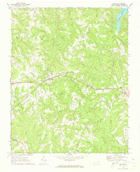
1970 · Macon
USGS Topo · 1:24,000
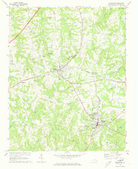
1970 · Warrenton
USGS Topo · 1:24,000

1971 · Inez
USGS Topo · 1:24,000

1971 · Afton
USGS Topo · 1:24,000