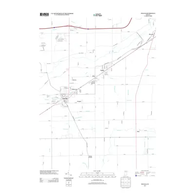
2013 Map of Ingalls
USGS Topo · Published 2013About this map
The town of Fortville serves as a primary hub of settlement in this Central Indiana landscape, where a dense network of suburban streets like Sunview and Helmcrest transitions into a highly managed agricultural plain. The area is defined by its extensive drainage infrastructure, with numerous waterways such as Jackson Ditch, Beeler Ditch, and McFadden Ditch carved across the terrain to support the surrounding farmland. These artificial and modified channels intersect with natural drainages like Fall Cr and Lick Cr, illustrating the intensive modification of the landscape for modern land use.
Find a feature on this map
102 named features on this map. Tap any name to fly to it.
Don’t see what you’re looking for? This feature index may not catch every label — zoom into the map to look around manually.
Map Details
Editions of this 2013 Ingalls Map
This is the sole edition of this map. No revisions or reprints were ever made.
Other maps of this area

1952 · Cumberland
USGS Topo · 1:24,000

1952 · Greenfield
USGS Topo · 1:24,000

1952 · Ingalls
USGS Topo · 1:24,000

1952 · Mc Cordsville
USGS Topo · 1:24,000

1952 · Anderson
USGS Topo · 1:24,000

1953 · Pendleton
USGS Topo · 1:24,000

1953 · Lapel
USGS Topo · 1:24,000

1953 · Riverwood
USGS Topo · 1:24,000

1953 · Cincinnati
USGS Topo · 1:250,000

1953 · Muncie
USGS Topo · 1:250,000