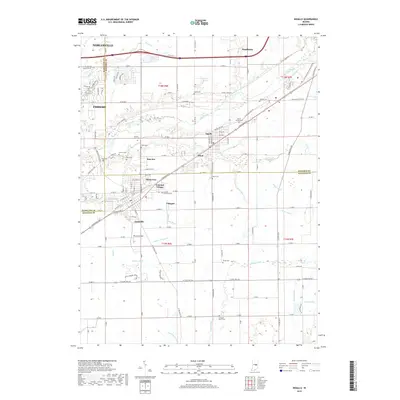
2019 Map of Ingalls
USGS Topo · Published 2019About this map
Fortville and Ingalls serve as the primary population centers in this 2019 survey, which captures the suburban and agricultural transition where Hamilton, Madison, and Hancock counties meet. The landscape is defined by a dense network of water management features, including Jackson Ditch, Mingle Ditch, and Cahill Shore Ditch, which drain the flat terrain toward Fall Creek and Sugar Creek. These engineered waterways highlight the area's long-standing agricultural importance and the necessity of drainage for local development.
Find a feature on this map
78 named features on this map. Tap any name to fly to it.
Don’t see what you’re looking for? This feature index may not catch every label — zoom into the map to look around manually.
Map Details
Editions of this 2019 Ingalls Map
This is the sole edition of this map. No revisions or reprints were ever made.
Other maps of this area

1952 · Cumberland
USGS Topo · 1:24,000

1952 · Greenfield
USGS Topo · 1:24,000

1952 · Ingalls
USGS Topo · 1:24,000

1952 · Mc Cordsville
USGS Topo · 1:24,000

1952 · Anderson
USGS Topo · 1:24,000

1953 · Pendleton
USGS Topo · 1:24,000

1953 · Lapel
USGS Topo · 1:24,000

1953 · Riverwood
USGS Topo · 1:24,000

1953 · Cincinnati
USGS Topo · 1:250,000

1953 · Muncie
USGS Topo · 1:250,000