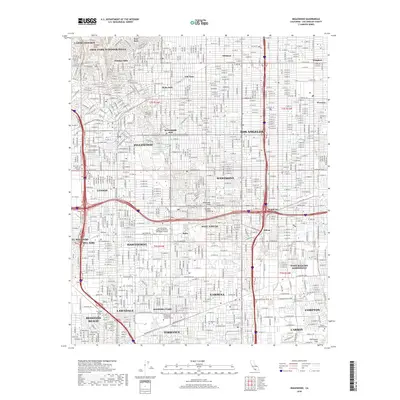
2018 Map of Inglewood
USGS Topo · Published 2018About this map
Baldwin Hills and the Dominguez Hills provide the natural elevation in this densely gridded section of Los Angeles County. The city of Inglewood sits at the heart of the sheet, surrounded by established residential districts like Ladera Heights, Windsor Hills, and Lennox. This 2018 survey reveals the intense urban development of the South Bay area, where aviation history is preserved at Jack Northrop Field/Hawthorne Municipal Airport. The map also details significant educational and community infrastructure, from The Univ of West Los Angeles in the west to the El Camino Community College District campus in the south. Notable landmarks include the sprawling Inglewood Park Cem and the Morningside Park Reservoir, while the Union Pacific line and Compton Creek cut through the industrial and residential corridors of Gardena and Compton.
Find a feature on this map
311 named features on this map. Tap any name to fly to it.
Don’t see what you’re looking for? This feature index may not catch every label — zoom into the map to look around manually.
Map Details
Editions of this 2018 Inglewood Map
This is the sole edition of this map. No revisions or reprints were ever made.
Other maps of this area

1894 · Los Angeles
USGS Topo · 1:62,500

1896 · Pasadena
USGS Topo · 1:62,500

1896 · Redondo
USGS Topo · 1:62,500

1896 · Santa Monica
USGS Topo · 1:62,500

1896 · Downey
USGS Topo · 1:62,500

1898 · Santa Monica
USGS Topo · 1:62,500

1899 · Downey
USGS Topo · 1:62,500

1900 · Pasadena
USGS Topo · 1:62,500

1900 · Los Angeles
USGS Topo · 1:62,500

1901 · Southern California Sheet No. 1
USGS Topo · 1:250,000