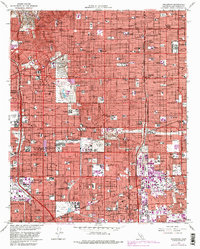
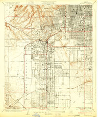
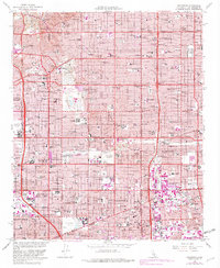
1964 Map of Inglewood
USGS Topo · Published 1982About this map
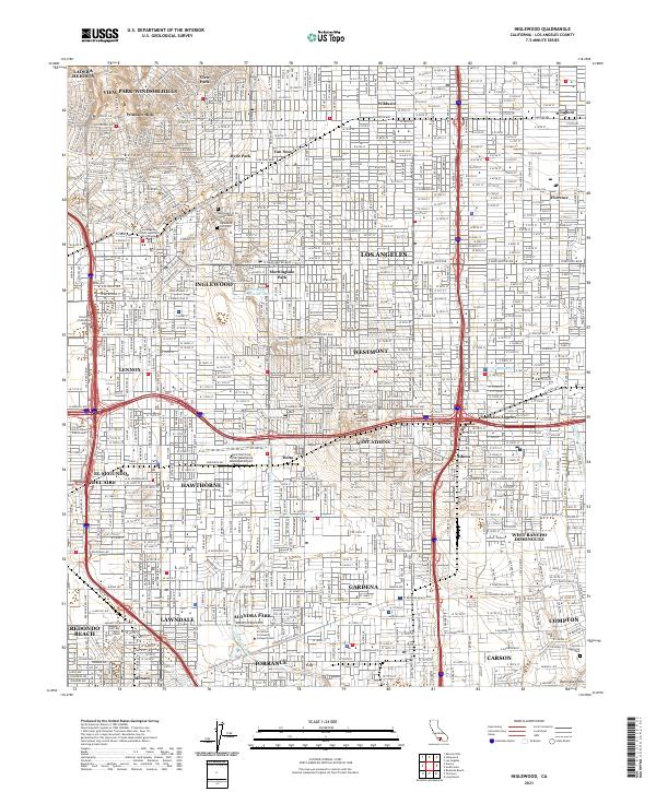
Inglewood and the surrounding South Bay and South Los Angeles communities appear here during a period of intense suburban infill and industrial activity. The landscape is defined by a dense grid of major thoroughfares like Slauson and Manchester, which connect historic neighborhoods such as Windsor Hills, Morningside Park, and Lennox. The map highlights massive mid-century footprints including Hollywood Park and the expansive Inglewood Park Cemetery.
Find a feature on this map
69 named features on this map. Tap any name to fly to it.
Don’t see what you’re looking for? This feature index may not catch every label — zoom into the map to look around manually.
Map Details
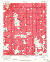
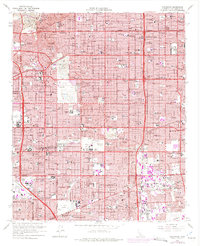
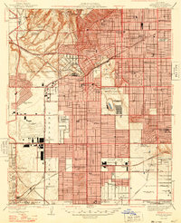
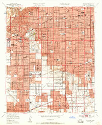
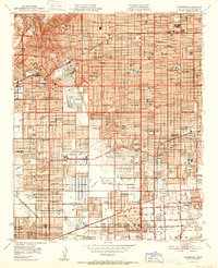
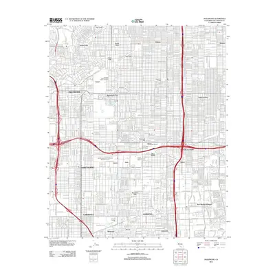
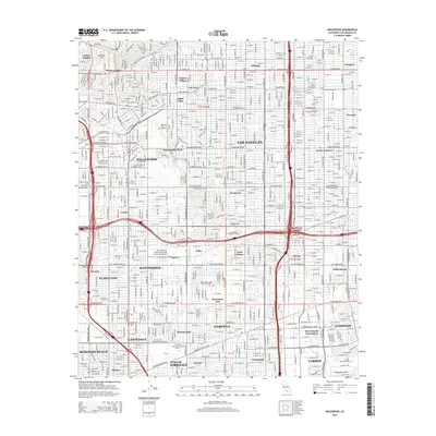
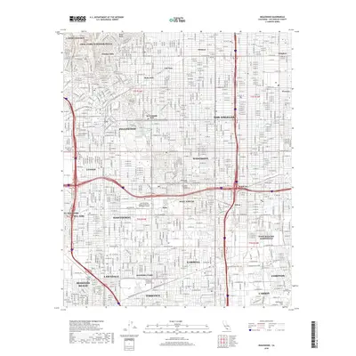
Editions of this 1964 Inglewood Map
4 editions found
Historical Maps of Los Angeles Through Time
10 maps found
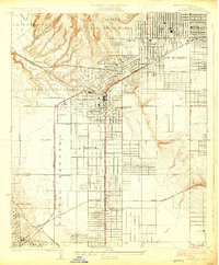
1924 Inglewood
Los Angeles County, CA
1930 Inglewood
Los Angeles County, CA
1948 Inglewood
Los Angeles County, CA
1950 Inglewood
Los Angeles County, CA
1952 Inglewood
Los Angeles County, CA
1964 Inglewood
Los Angeles County, CA
2012 Inglewood
Los Angeles County, CA
2015 Inglewood
Los Angeles County, CA
2018 Inglewood
Los Angeles County, CA
2021 Inglewood
Los Angeles County, CA