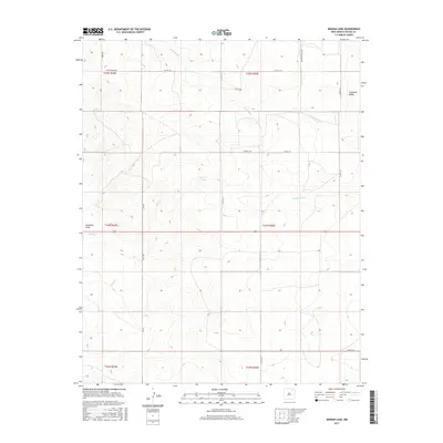
2017 Map of Ingram Lake
USGS Topo · Published 2017About this map
Ingram Lake sits at the heart of this high-plains landscape in Colfax County, where ephemeral watercourses like Sauz Cr and Wilson Arroyo carve through the terrain. The map captures a sparsely populated region defined by large-scale ranching and the Public Land Survey System, with boundaries clearly marking the transitions between t24n r26e and surrounding townships. Distinctive landforms such as Sombrero Butte and the long depression of Anderson Draw provide essential navigation points across the open range.
Find a feature on this map
24 named features on this map. Tap any name to fly to it.
Don’t see what you’re looking for? This feature index may not catch every label — zoom into the map to look around manually.
Map Details
Editions of this 2017 Ingram Lake Map
This is the sole edition of this map. No revisions or reprints were ever made.
Other maps of this area
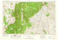
1954 · Raton
USGS Topo · 1:250,000
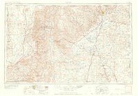
1958 · Raton
USGS Topo · 1:250,000
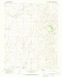
1965 · Sauble Circle Dot Ranch
USGS Topo · 1:24,000
1965 · Abbott
USGS Topo · 1:24,000
1971 · Abbott Lake
USGS Topo · 1:24,000
1974 · Point Of Rocks Mesa
USGS Topo · 1:24,000
1974 · Farley
USGS Topo · 1:24,000
1974 · Lawrence Arroyo
USGS Topo · 1:24,000
1974 · Spear Hills
USGS Topo · 1:24,000
1974 · Divine Lake
USGS Topo · 1:24,000