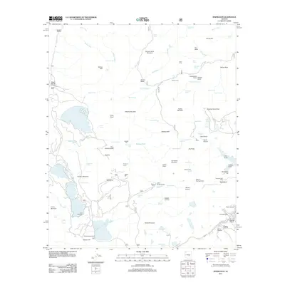
2011 Map of Inspiration
USGS Topo · Published 2011About this map
The Pinto Valley Mine Open Pit and the massive Cottonwood Tailings-Pond dominate this landscape, reflecting the heavy industrial footprint of copper mining in Gila County. The settlement of Inspiration sits at the edge of this activity, supported by the Inspiration Post Office. This modern survey illustrates how large-scale earth-moving operations have reshaped the terrain between Porphyry Mountain and Needle Mountain.
Find a feature on this map
105 named features on this map. Tap any name to fly to it.
Don’t see what you’re looking for? This feature index may not catch every label — zoom into the map to look around manually.
Map Details
Editions of this 2011 Inspiration Map
This is the sole edition of this map. No revisions or reprints were ever made.
Other maps of this area

1900 · Florence
USGS Topo · 1:125,000

1901 · Globe
USGS Topo · 1:62,500

1902 · Globe
USGS Topo · 1:62,500

1902 · Florence
USGS Topo · 1:125,000

1907 · Roosevelt
USGS Topo · 1:125,000

1909 · Four Peaks
USGS Topo · 1:125,000

1912 · Roosevelt
USGS Topo · 1:125,000

1922 · Chrysotile
USGS Topo · 1:125,000

1945 · Globe
USGS Topo · 1:24,000

1945 · Inspiration
USGS Topo · 1:24,000