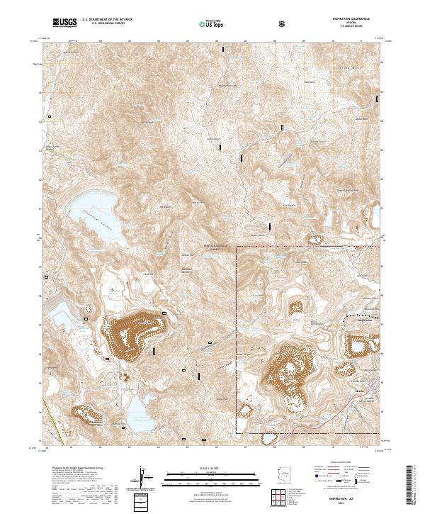
2021 Map of Inspiration
USGS Topo · Published 2021About this map
The copper-rich landscape of Gila County defines this recent survey, centered on the industrial infrastructure of Inspiration and the northwestern edge of Miami. Large-scale mining operations have reshaped the terrain, most notably at Porphyry Mtn and the massive Cottonwood Tailings Pond. The map reveals a complex network of canyons and gulches, such as Gold Gulch and Liveoak Gulch, that cut through the high desert peaks of the Tonto National Forest. Water sources are vital markers in this arid environment, with dozens of named springs like Bootlegger Spring and Prince Charming Spring scattered across the slopes of Sleeping Beauty Peak and Needle Mtn. These features, along with the transition from industrial zones to protected forest land, provide a detailed look at the modern footprint of Arizona's copper mining history.
Find a feature on this map
90 named features on this map. Tap any name to fly to it.
Don’t see what you’re looking for? This feature index may not catch every label — zoom into the map to look around manually.
Map Details
Editions of this 2021 Inspiration Map
This is the sole edition of this map. No revisions or reprints were ever made.
Other maps of this area

1900 · Florence
USGS Topo · 1:125,000

1901 · Globe
USGS Topo · 1:62,500

1902 · Globe
USGS Topo · 1:62,500

1902 · Florence
USGS Topo · 1:125,000

1907 · Roosevelt
USGS Topo · 1:125,000

1909 · Four Peaks
USGS Topo · 1:125,000

1912 · Roosevelt
USGS Topo · 1:125,000

1922 · Chrysotile
USGS Topo · 1:125,000

1945 · Globe
USGS Topo · 1:24,000

1945 · Inspiration
USGS Topo · 1:24,000