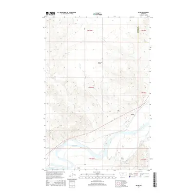
2017 Map of Intake
USGS Topo · Published 2017About this map
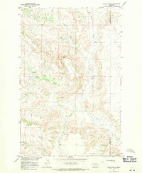
The Yellowstone River anchors this corner of eastern Montana, where the small community of Intake sits along its northern bank. The landscape is defined by the heavy carving of the Missouri Plateau, visible through numerous drainage features like Black Tail Coulee, Elm Coulee, and Wards Coulee. This 2017 study illustrates the intersection of natural river hydrology and human management, specifically highlighting the Main Canal which diverts water for regional irrigation.
Find a feature on this map
29 named features on this map. Tap any name to fly to it.
Don’t see what you’re looking for? This feature index may not catch every label — zoom into the map to look around manually.
Map Details
Editions of this 2017 Intake Map
This is the sole edition of this map. No revisions or reprints were ever made.
Other maps of this area
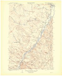
1909 · Glendive
USGS Topo · 1:250,000

1954 · Glendive
USGS Topo · 1:250,000

1957 · Glendive
USGS Topo · 1:250,000
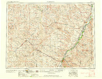
1958 · Glendive
USGS Topo · 1:250,000
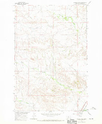
1966 · Kolberg Ranch
USGS Topo · 1:24,000
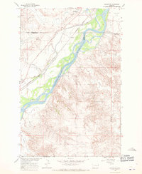
1966 · Savage SW
USGS Topo · 1:24,000
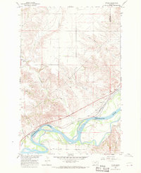
1966 · Intake
USGS Topo · 1:24,000
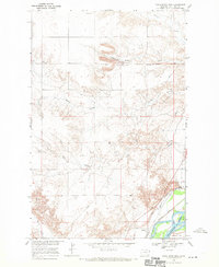
1966 · Knife River Mine
USGS Topo · 1:24,000
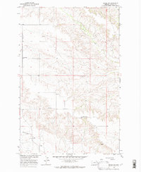
1966 · Intake NW
USGS Topo · 1:24,000
1966 · Allard Ranch
USGS Topo · 1:24,000