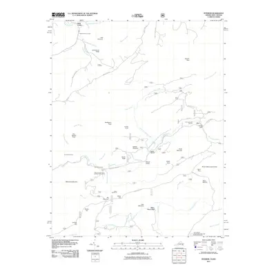
2011 Map of Interior
USGS Topo · Published 2011About this map
Rock Camp and the small settlements of Interior and Kire anchor this 2011 survey of the border region between Monroe County, West Virginia, and Giles County, Virginia. The landscape is defined by the steep ridges of Little Mountain, Huckleberry Ridge, and Big Mountain, where the Appalachian Trl winds toward Bailey Gap and the Bailey Gap Shelter. This map is particularly valuable for genealogical research, documenting local family history through the Ballard-Harvey Cemetery, Fortner Cemetery, and the Kire Community Cemetery.
Find a feature on this map
66 named features on this map. Tap any name to fly to it.
Don’t see what you’re looking for? This feature index may not catch every label — zoom into the map to look around manually.
Map Details
Editions of this 2011 Interior Map
This is the sole edition of this map. No revisions or reprints were ever made.
Other maps of this area

1887 · Hinton
USGS Topo · 1:125,000

1887 · Lewisburg
USGS Topo · 1:125,000

1890 · Dublin
USGS Topo · 1:125,000

1890 · Christiansburg
USGS Topo · 1:125,000

1891 · Lewisburg
USGS Topo · 1:125,000

1891 · Dublin
USGS Topo · 1:125,000

1892 · Hinton
USGS Topo · 1:125,000

1921 · Alderson
USGS Topo · 1:48,000

1921 · Ronceverte
USGS Topo · 1:48,000

1923 · Ronceverte
USGS Topo · 1:62,500