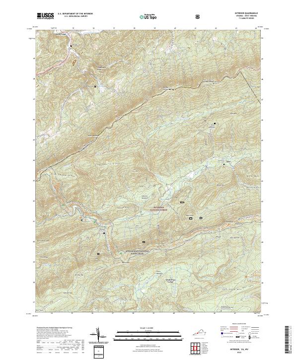
2022 Map of Interior
USGS Topo · Published 2022About this map
The Jefferson National Forest dominates this topographic study of the borderlands between Giles County, Virginia, and Monroe County, West Virginia. The landscape is defined by the high, parallel ridges of Peters Mountain and Potts Mountain, which channel the Appalachian National Scenic Trail along their crests and through Bailey Gap. Settlement is largely restricted to the northern valleys near Rock Camp and the eastern hollows of Kire. Genealogists will find several small family burial grounds, including the Elmore McAlarnis Family Cem and the Kessinger Family Cem, tucked into the folds of the mountains. To the south, the presence of the University of Virginia Mountain Lake Biological Station near Salt Pond Mtn indicates the area's ongoing importance for scientific research within this protected Appalachian corridor.
Find a feature on this map
84 named features on this map. Tap any name to fly to it.
Don’t see what you’re looking for? This feature index may not catch every label — zoom into the map to look around manually.
Map Details
Editions of this 2022 Interior Map
This is the sole edition of this map. No revisions or reprints were ever made.
Other maps of this area

1887 · Hinton
USGS Topo · 1:125,000

1887 · Lewisburg
USGS Topo · 1:125,000

1890 · Dublin
USGS Topo · 1:125,000

1890 · Christiansburg
USGS Topo · 1:125,000

1891 · Lewisburg
USGS Topo · 1:125,000

1891 · Dublin
USGS Topo · 1:125,000

1892 · Hinton
USGS Topo · 1:125,000

1921 · Alderson
USGS Topo · 1:48,000

1921 · Ronceverte
USGS Topo · 1:48,000

1923 · Ronceverte
USGS Topo · 1:62,500