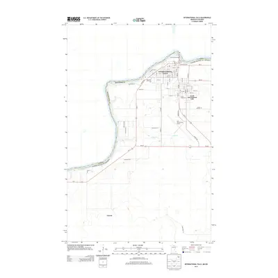
2013 Map of International Falls
USGS Topo · Published 2013About this map
Rainy River defines the international boundary between Minnesota and Canada, anchoring the development of International Falls. This 2013 survey illustrates the dense urban grid of the city, extending south into South International Falls and towards the unincorporated settlement of Nakoda. The landscape is dominated by the river's path, featuring the prominent Koochiching Falls and the International Bridge that connects the two nations. Significant local infrastructure is evident, including the Rainy River Community College and the sprawling Falls International Airport. Residential growth and local history are reflected in sites like Forest Hill Cemetery and Arnold's Campground, while the surrounding terrain is etched with numerous local routes such as County Highway 108 and Riverview Boulevard.
Find a feature on this map
28 named features on this map. Tap any name to fly to it.
Don’t see what you’re looking for? This feature index may not catch every label — zoom into the map to look around manually.
Map Details
Editions of this 2013 International Falls Map
This is the sole edition of this map. No revisions or reprints were ever made.
Other maps of this area

1919 · Pelland
USGS Topo · 1:62,500

1919 · Happy Land
USGS Topo · 1:62,500

1919 · International Falls
USGS Topo · 1:62,500

1954 · International Falls
USGS Topo · 1:250,000

1957 · International Falls
USGS Topo · 1:250,000

1958 · International Falls
USGS Topo · 1:250,000

1963 · Ranier
USGS Topo · 1:24,000

1969 · Ericsburg NW
USGS Topo · 1:24,000

1969 · Ericsburg
USGS Topo · 1:24,000

1969 · Ranier
USGS Topo · 1:24,000