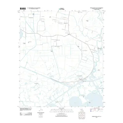
2012 Map of Intracoastal City
USGS Topo · Published 2012About this map
Intracoastal City sits at the vital junction where the Vermilion River meets the coastal marshlands, serving as a critical hub for Louisiana's maritime and energy sectors. The landscape is defined by an intricate network of artificial waterways like Canal Number Ten, Hall-Schultz Canal, and Meaux Canal, which support both agricultural drainage and industrial transport. The inland settlement of Esther provides a residential anchor north of the intensive oil and gas operations.
Find a feature on this map
75 named features on this map. Tap any name to fly to it.
Don’t see what you’re looking for? This feature index may not catch every label — zoom into the map to look around manually.
Map Details
Editions of this 2012 Intracoastal City Map
This is the sole edition of this map. No revisions or reprints were ever made.
Other maps of this area

1932 · Abbeville SW
USGS Topo · 1:31,680

1932 · Abbeville SE
USGS Topo · 1:31,680

1932 · Abbeville NE
USGS Topo · 1:31,680

1932 · Abbeville NW
USGS Topo · 1:31,680

1945 · Pecan Island NE
USGS Topo · 1:31,680

1946 · Schooner Bayou SE
USGS Topo · 1:31,680

1946 · Redfish Point NE
USGS Topo · 1:31,680

1946 · Schooner Bayou NE
USGS Topo · 1:31,680

1946 · Redfish Point NW
USGS Topo · 1:31,680

1951 · Pecan Island
USGS Topo · 1:62,500