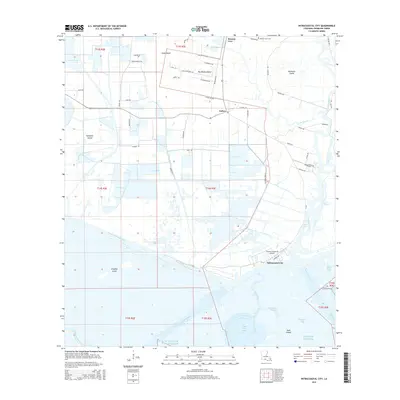
2015 Map of Intracoastal City
USGS Topo · Published 2015About this map
The Vermilion River snakes southward through the wetlands of Vermilion Parish, meeting the Intracoastal Waterway at the bustling maritime hub of Intracoastal City. This 2015 perspective reveals a landscape defined by the intersection of industrial canal traffic and coastal prairie. To the north, the small settlements of Esther and Mouton Cove sit among a grid of rural roads such as School Board Rd and Old Sugar Mill Rd, with the Mouton Cove Cem serving as a local genealogical landmark.
Find a feature on this map
62 named features on this map. Tap any name to fly to it.
Don’t see what you’re looking for? This feature index may not catch every label — zoom into the map to look around manually.
Map Details
Editions of this 2015 Intracoastal City Map
This is the sole edition of this map. No revisions or reprints were ever made.
Other maps of this area

1932 · Abbeville SW
USGS Topo · 1:31,680

1932 · Abbeville SE
USGS Topo · 1:31,680

1932 · Abbeville NE
USGS Topo · 1:31,680

1932 · Abbeville NW
USGS Topo · 1:31,680

1945 · Pecan Island NE
USGS Topo · 1:31,680

1946 · Schooner Bayou SE
USGS Topo · 1:31,680

1946 · Redfish Point NE
USGS Topo · 1:31,680

1946 · Schooner Bayou NE
USGS Topo · 1:31,680

1946 · Redfish Point NW
USGS Topo · 1:31,680

1951 · Pecan Island
USGS Topo · 1:62,500