
1951 Map of Inver Grove
USGS Topo · Published 1953About this map
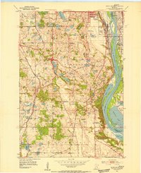
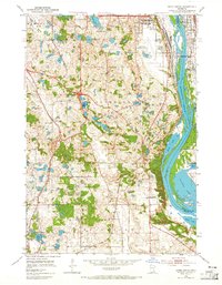
South St Paul and its busy municipal waterfront anchor this early 1950s survey of the Mississippi River valley. The map documents a landscape in transition, where the established towns of Newport, Inver Grove, and St Paul Park sit alongside a dense network of rural one-room schoolhouses such as School No 103 and School No 8. The industrial and transportation character of the region is evident in the convergence of three major rail lines—the Chicago Great Western, Chicago Rock Island and Pacific, and Chicago Milwaukee St Paul and Pacific—which follow the river's edge.
Find a feature on this map
48 named features on this map. Tap any name to fly to it.
Don’t see what you’re looking for? This feature index may not catch every label — zoom into the map to look around manually.
Map Details
Editions of this 1951 Inver Grove Map
3 editions found
Other maps of this area

1896 · St. Paul
USGS Topo · 1:62,500

1946 · Hudson
USGS Topo · 1:62,500

1949 · Hudson
USGS Topo · 1:62,500

1949 · Lake Elmo
USGS Topo · 1:24,000

1950 · Lake Elmo
USGS Topo · 1:24,000

1950 · St Paul Park
USGS Topo · 1:24,000

1951 · St Paul Park
USGS Topo · 1:24,000

1951 · St. Paul West
USGS Topo · 1:24,000

1951 · St. Paul SW
USGS Topo · 1:24,000

1951 · St. Paul East
USGS Topo · 1:24,000