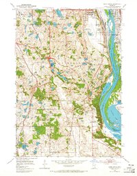
1951 Map of Inver Grove
USGS Topo · Published 1965About this map
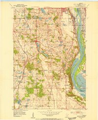
The Mississippi River valley dominates this mid-century look at the southeastern edge of the Twin Cities, where industry and leisure intersect along the water. In South St Paul and Newport, the landscape is defined by the heavy presence of rail lines like the Chicago Rock Island and Pacific and Chicago Great Western. To the south, the river braids around Grey Cloud Island and into the backwaters of Baldwin Lake, creating a complex riparian environment that sits in contrast to the nearby South St Paul Municipal Airport.
Find a feature on this map
46 named features on this map. Tap any name to fly to it.
Don’t see what you’re looking for? This feature index may not catch every label — zoom into the map to look around manually.
Map Details
Editions of this 1951 Inver Grove Map
3 editions found
Other maps of this area

1896 · St. Paul
USGS Topo · 1:62,500

1946 · Hudson
USGS Topo · 1:62,500

1949 · Hudson
USGS Topo · 1:62,500

1949 · Lake Elmo
USGS Topo · 1:24,000

1950 · Lake Elmo
USGS Topo · 1:24,000

1950 · St Paul Park
USGS Topo · 1:24,000

1951 · St Paul Park
USGS Topo · 1:24,000

1951 · St. Paul West
USGS Topo · 1:24,000

1951 · Inver Grove
USGS Topo · 1:24,000

1951 · St. Paul SW
USGS Topo · 1:24,000