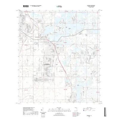
2018 Map of Inverness
USGS Topo · Published 2018About this map
Inverness and the sprawling residential developments of Inverness Highlands South dominate this Citrus County landscape, situated amidst an intricate network of wetlands and islands. The city is defined by its relationship with the vast Tsala Apopka Lake system, where large landmasses like Gospel Island, Pritchard Island, and Cabbage Island rise above Henderson Lake. This modern survey illustrates the contemporary street grid of Arlington and the residential expansion southward toward Holden Lake. Local history is preserved at the Dampier Cem and Hill of Rest Cem, while the Florida National Scenic Trail winds through the western portion of the quadrangle. The Inverness Airport and the corridor along S Florida Ave serve as primary anchors for the region's transport and infrastructure.
Find a feature on this map
37 named features on this map. Tap any name to fly to it.
Don’t see what you’re looking for? This feature index may not catch every label — zoom into the map to look around manually.
Map Details
Editions of this 2018 Inverness Map
This is the sole edition of this map. No revisions or reprints were ever made.
Other maps of this area

1893 · Panasoffkee
USGS Topo · 1:62,500

1895 · Tsala Apopka
USGS Topo · 1:62,500

1895 · Panasoffkee
USGS Topo · 1:62,500

1954 · Lecanto
USGS Topo · 1:24,000

1954 · Holder
USGS Topo · 1:24,000

1954 · Brooksville NW
USGS Topo · 1:24,000

1954 · Nobleton
USGS Topo · 1:24,000

1954 · Tsala Apopka NE
USGS Topo · 1:24,000

1954 · Inverness
USGS Topo · 1:24,000

1954 · Inverness
USGS Topo · 1:62,500