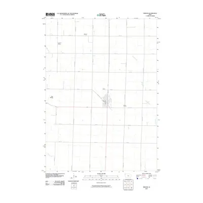
2010 Map of Inwood
USGS Topo · Published 2010About this map
Inwood serves as the primary hub of this Lyon County agricultural landscape, shown here at the start of the 21st century. The town's grid is anchored by the Inwood Post Office and intersected by Jefferson St and Oak St, reflecting its role as a local service center for the surrounding farmsteads. The outlying sections are characterized by a precise square-mile road network, including corridors like Cherry Ave and 240th St, which trace the path of earlier pioneer land claims.
Find a feature on this map
22 named features on this map. Tap any name to fly to it.
Don’t see what you’re looking for? This feature index may not catch every label — zoom into the map to look around manually.
Map Details
Editions of this 2010 Inwood Map
This is the sole edition of this map. No revisions or reprints were ever made.
Other maps of this area

1897 · Canton
USGS Topo · 1:125,000

1900 · Canton
USGS Topo · 1:125,000

1955 · Sioux Falls
USGS Topo · 1:250,000

1958 · Sioux Falls
USGS Topo · 1:250,000

1962 · Klondike
USGS Topo · 1:24,000

1962 · Canton
USGS Topo · 1:24,000

1968 · Alcester NE
USGS Topo · 1:24,000

1968 · Fairview
USGS Topo · 1:24,000
1968 · Rock Valley
USGS Topo · 1:24,000

1971 · Lester
USGS Topo · 1:24,000