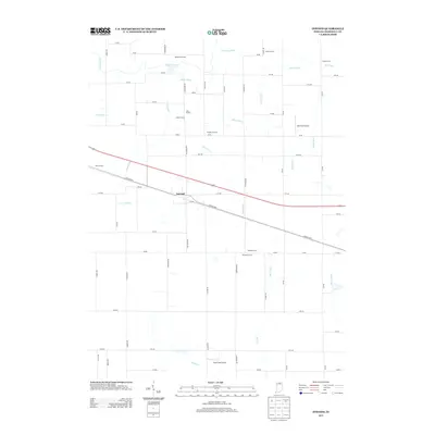
2013 Map of Inwood
USGS Topo · Published 2013About this map
Agricultural operations and an intricate network of drainage ditches characterize this section of Marshall County, centered on the settlement of Inwood. The landscape is largely defined by named family holdings, including Woodward Farms, Kaiser Farms, and Weissert Farms, reflecting the region's deep-rooted farming heritage. Transportation routes such as the historic Lincoln Hwy cut across the territory, alongside modern infrastructure like Scott Field Airport and Ball Field Airport. Water management is vital to this terrain, with the Yellow River supplemented by numerous man-made channels like Dausman Ditch, Crews Ditch, and Porter Ditch. These waterways illustrate the systematic transformation of the northern Indiana prairie into productive cropland, a process recorded here in meticulous detail.
Find a feature on this map
59 named features on this map. Tap any name to fly to it.
Don’t see what you’re looking for? This feature index may not catch every label — zoom into the map to look around manually.
Map Details
Editions of this 2013 Inwood Map
This is the sole edition of this map. No revisions or reprints were ever made.
Other maps of this area

1953 · Chicago
USGS Topo · 1:250,000

1957 · Chicago
USGS Topo · 1:250,000

1957 · Inwood
USGS Topo · 1:24,000

1957 · Plymouth
USGS Topo · 1:24,000

1958 · Bremen
USGS Topo · 1:24,000

1958 · La Paz
USGS Topo · 1:24,000

1958 · Nappanee West
USGS Topo · 1:24,000

1958 · Bourbon
USGS Topo · 1:24,000

1959 · Mentone
USGS Topo · 1:24,000

1962 · Argos
USGS Topo · 1:24,000