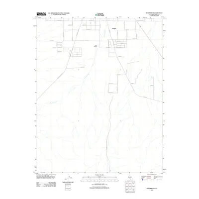
2012 Map of Inyokern SE
USGS Topo · Published 2012About this map
The desert community of Inyokern and the expanding infrastructure of Kern County define this high-desert landscape. The grid-like street patterns of the valley floor are intersected by major arteries such as W Ridgecrest Blvd and Redrock Inyokern Rd, illustrating the transition from traditional desert settlements to modern regional connectivity. To the south and west, the terrain becomes increasingly defined by natural drainages and landforms, most notably the winding path of Little Dixie Wash and the distinct geographic depression of Sage Canyon. The naming conventions of local roads, such as Pumice Ave and Calsilco Ave, hint at the mineral-rich geological history of the surrounding area, while residential corridors like Avenida Del Sol and Church Rd mark the established footprint of local development during the early 21st century.
Find a feature on this map
45 named features on this map. Tap any name to fly to it.
Don’t see what you’re looking for? This feature index may not catch every label — zoom into the map to look around manually.
Map Details
Editions of this 2012 Inyokern SE Map
This is the sole edition of this map. No revisions or reprints were ever made.
Other maps of this area
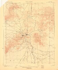
1903 · Randsburg
USGS Topo · 1:62,500
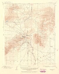
1911 · Randsburg
USGS Topo · 1:62,500
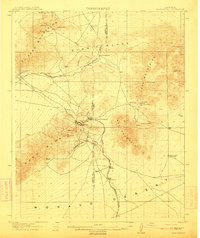
1912 · Randsburg
USGS Topo · 1:62,500
1915 · Searles Lake
USGS Topo · 1:250,000
1943 · Inyokern
USGS Topo · 1:62,500
1943 · Saltdale
USGS Topo · 1:62,500
1947 · Trona
USGS Topo · 1:250,000
1948 · Trona
USGS Topo · 1:250,000
1953 · Ridgecrest
USGS Topo · 1:62,500
1953 · Trona
USGS Topo · 1:250,000