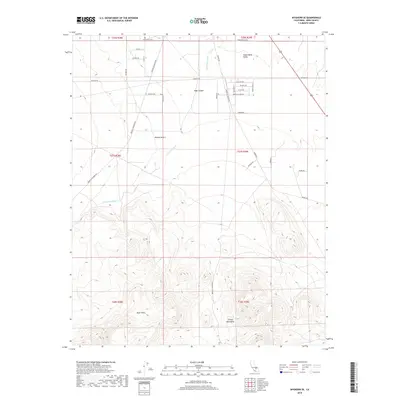
2018 Map of Inyokern SE
USGS Topo · Published 2018About this map
Indian Wells Valley and the northern reaches of the Mojave Desert define this arid landscape south of Ridgecrest. The transition from the flat desert floor to the elevated terrain of the Black Hills and the El Paso Mountains is marked by ephemeral drainage systems like Little Dixie Wash. The map documents a grid of residential and resource-access roads pushing into the foothills, including Redrock Inyokern Rd and Mesquite Canyon Rd. North of Sage Canyon, the alignment of thoroughfares such as Bowman Rd and Ridgecrest Blvd indicates the steady expansion of local infrastructure toward the rugged uplands. This 2018 survey provides a clear view of how modern transportation corridors navigate the historical constraints of California's high desert topography.
Find a feature on this map
34 named features on this map. Tap any name to fly to it.
Don’t see what you’re looking for? This feature index may not catch every label — zoom into the map to look around manually.
Map Details
Editions of this 2018 Inyokern SE Map
This is the sole edition of this map. No revisions or reprints were ever made.
Other maps of this area
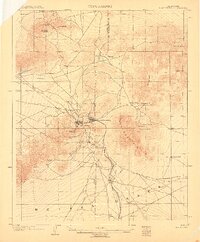
1903 · Randsburg
USGS Topo · 1:62,500
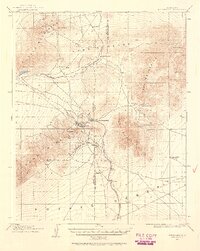
1911 · Randsburg
USGS Topo · 1:62,500
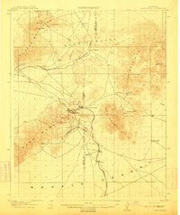
1912 · Randsburg
USGS Topo · 1:62,500
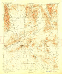
1915 · Searles Lake
USGS Topo · 1:250,000
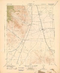
1943 · Inyokern
USGS Topo · 1:62,500
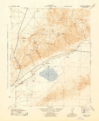
1943 · Saltdale
USGS Topo · 1:62,500
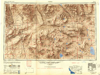
1947 · Trona
USGS Topo · 1:250,000
1948 · Trona
USGS Topo · 1:250,000
1953 · Ridgecrest
USGS Topo · 1:62,500
1953 · Trona
USGS Topo · 1:250,000